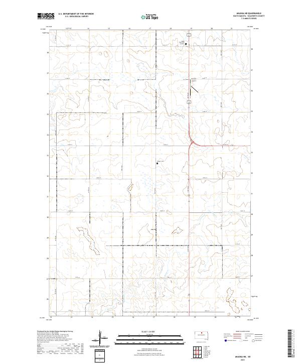
2021 Map of Akaska NE
USGS Topo · Published 2021About this map
The prairie landscape of Walworth County is defined by a rigorous grid of section lines and township boundaries, including t123n r76w and t122n r76w. This rural expanse is bisected by north-south corridors like 307th Ave, which provides access to essential local landmarks such as Beaman Airport and Selby Memorial Gardens. The drainage of Rieger Cr meanders through the southern sections of the map, carving soft depressions into the agricultural terrain. Historical sites of local significance include the Bangor Cem, a quiet record of the area's early residents. The road network, consisting of numbered routes like 131st St through 139th St, maintains the orderly geometry of the High Plains, connecting remote farmsteads to larger regional hubs.
Find a feature on this map
23 named features on this map. Tap any name to fly to it.
Don’t see what you’re looking for? This feature index may not catch every label — zoom into the map to look around manually.
Map Details
Editions of this 2021 Akaska NE Map
This is the sole edition of this map. No revisions or reprints were ever made.
Other maps of this area

1953 · McIntosh
USGS Topo · 1:250,000

1954 · Aberdeen
USGS Topo · 1:250,000

1956 · Aberdeen
USGS Topo · 1:250,000

1958 · McIntosh
USGS Topo · 1:250,000

1967 · Selby SW
USGS Topo · 1:24,000

1967 · Selby
USGS Topo · 1:24,000

1968 · Akaska NW
USGS Topo · 1:24,000

1968 · Akaska SW
USGS Topo · 1:24,000

1968 · Akaska
USGS Topo · 1:24,000

1968 · Akaska NE
USGS Topo · 1:24,000