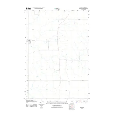
2012 Map of Akaska
USGS Topo · Published 2012About this map
Akaska sits as the primary settlement on this Walworth County landscape, positioned along the edge of the Missouri River's influence. The topography is defined by the wandering drainage patterns of Swan Cr and Rieger Cr, which meander through a grid of rural section roads. The map shows the town's small street grid, including Haynes Ave and Ej Ave, set against the expansive agricultural surroundings. This 2012 record documents the transition of the South Dakota prairie, where modern highway infrastructure intersects with historical watercourses. The layout of section lines like 303rd Ave and 307th Ave illustrates the enduring influence of the Public Land Survey System on the region's development and current land use.
Find a feature on this map
17 named features on this map. Tap any name to fly to it.
Don’t see what you’re looking for? This feature index may not catch every label — zoom into the map to look around manually.
Map Details
Editions of this 2012 Akaska Map
This is the sole edition of this map. No revisions or reprints were ever made.
Other maps of this area

1953 · McIntosh
USGS Topo · 1:250,000

1954 · Aberdeen
USGS Topo · 1:250,000

1956 · Aberdeen
USGS Topo · 1:250,000

1958 · McIntosh
USGS Topo · 1:250,000

1968 · Akaska NW
USGS Topo · 1:24,000

1968 · Akaska SW
USGS Topo · 1:24,000

1968 · Akaska
USGS Topo · 1:24,000

1968 · Akaska NE
USGS Topo · 1:24,000

1970 · Steamboat Creek
USGS Topo · 1:24,000

1970 · Lake Hurley NE
USGS Topo · 1:24,000