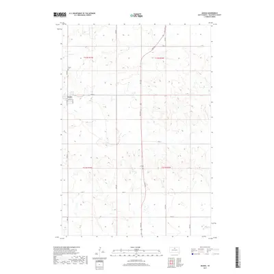
2017 Map of Akaska
USGS Topo · Published 2017About this map
Akaska serves as the primary settlement on this Walworth County prairie landscape, organized around a grid of local roads like Skinner St and Haynes Ave. The town’s history is anchored by the Akaska Cem located just to the north, a vital point for genealogical research in this part of South Dakota. The surrounding terrain is defined by the drainage of Swan Cr and Rieger Cr, which wind through the township sections. This 2017 survey reflects the enduring section-line road network typical of the Great Plains, where routes like 303rd Ave and 305th Ave create a precise geometric overlay on the natural topography. Transportation through the area is facilitated by Co Hwy 1804, connecting the small community to the wider region.
Find a feature on this map
20 named features on this map. Tap any name to fly to it.
Don’t see what you’re looking for? This feature index may not catch every label — zoom into the map to look around manually.
Map Details
Editions of this 2017 Akaska Map
This is the sole edition of this map. No revisions or reprints were ever made.
Other maps of this area

1953 · McIntosh
USGS Topo · 1:250,000

1954 · Aberdeen
USGS Topo · 1:250,000

1956 · Aberdeen
USGS Topo · 1:250,000

1958 · McIntosh
USGS Topo · 1:250,000

1968 · Akaska NW
USGS Topo · 1:24,000

1968 · Akaska SW
USGS Topo · 1:24,000

1968 · Akaska
USGS Topo · 1:24,000

1968 · Akaska NE
USGS Topo · 1:24,000

1970 · Steamboat Creek
USGS Topo · 1:24,000

1970 · Lake Hurley NE
USGS Topo · 1:24,000