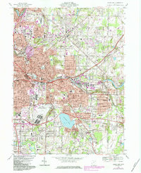
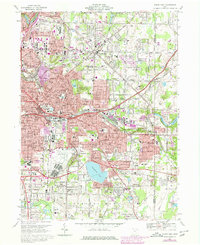
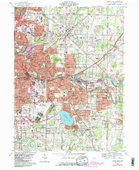
1967 Map of Akron East
USGS Topo · Published 1984About this map
Akron’s eastern industrial and residential expansion is anchored by the massive Goodyear Airdock and the Akron Fulton International Airport. This 1967 survey, with photorevisions from 1984, documents the post-war development of the Goodyear Heights Metropolitan Park area and the suburban growth around Tallmadge and Mogadore. The landscape is a complex intersection of industry and recreation, where major infrastructure like Municipal Stadium and the Chapel Hill Mall sits near established neighborhoods like Ellet and Brittain.
Find a feature on this map
73 named features on this map. Tap any name to fly to it.
Don’t see what you’re looking for? This feature index may not catch every label — zoom into the map to look around manually.
Map Details
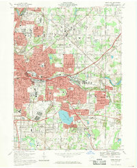
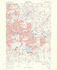
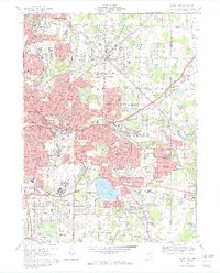
Editions of this 1967 Akron East Map
6 editions found
Other maps of this area

1901 · Massillon
USGS Topo · 1:62,500

1901 · Canton
USGS Topo · 1:62,500

1903 · Massillon
USGS Topo · 1:62,500

1903 · Canton
USGS Topo · 1:62,500

1903 · Akron
USGS Topo · 1:62,500

1905 · Akron
USGS Topo · 1:62,500

1906 · Kent
USGS Topo · 1:62,500

1950 · Cleveland
USGS Topo · 1:250,000

1951 · Canton
USGS Topo · 1:250,000

1953 · Canton
USGS Topo · 1:250,000