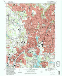
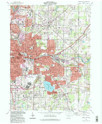
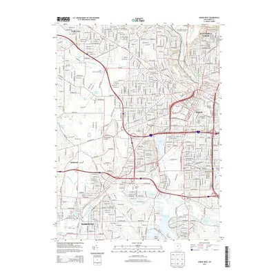
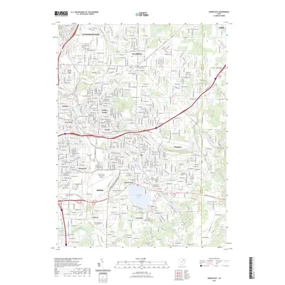
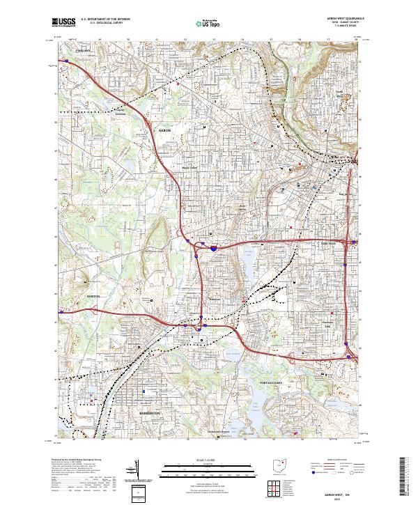
1994 Map of Akron West
USGS Topo · Published 1997About this map
Akron serves as the dense urban core of this 1990s landscape, flanked by established industrial and residential districts like Kenmore and South Akron. The geography is defined by a complex network of waterways and glacial kettle lakes, including Summit Lake, Lake Nesmith, and the expansive Portage Lakes system to the south. Historically significant infrastructure like the Tuscarawas River Diversion Dam and the Conrail rail lines trace the legacy of the region's transport and industrial development.
Find a feature on this map
130 named features on this map. Tap any name to fly to it.
Don’t see what you’re looking for? This feature index may not catch every label — zoom into the map to look around manually.
Map Details
Editions of this 1994 Akron West Map
This is the sole edition of this map. No revisions or reprints were ever made.
Historical Maps of Akron Through Time
16 maps found
1958 Akron East
Summit County, OH

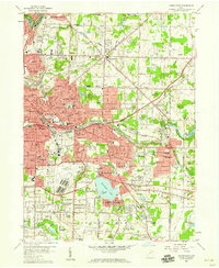
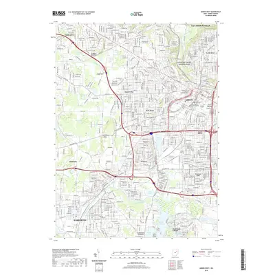
1958 Akron West
Summit County, OH
1967 Akron East
Summit County, OH
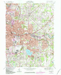
1967 Akron West
Summit County, OH
1994 Akron East
Summit County, OH
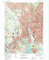
1994 Akron West
Summit County, OH
2010 Akron East
Summit County, OH
2010 Akron West
Summit County, OH
2013 Akron East
Summit County, OH
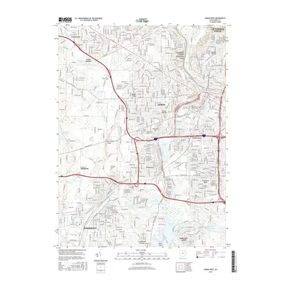
2013 Akron West
Summit County, OH

2016 Akron East
Summit County, OH
2016 Akron West
Summit County, OH
2019 Akron East
Summit County, OH
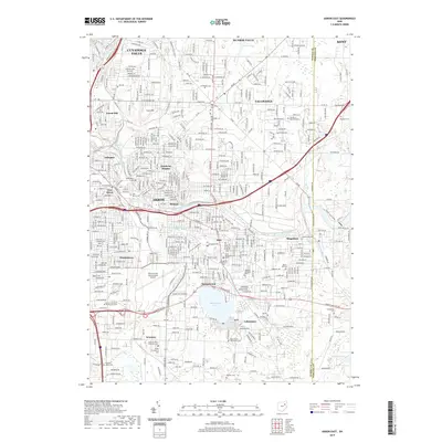
2019 Akron West
Summit County, OH
2023 Akron East
Summit County, OH
2023 Akron West
Summit County, OH