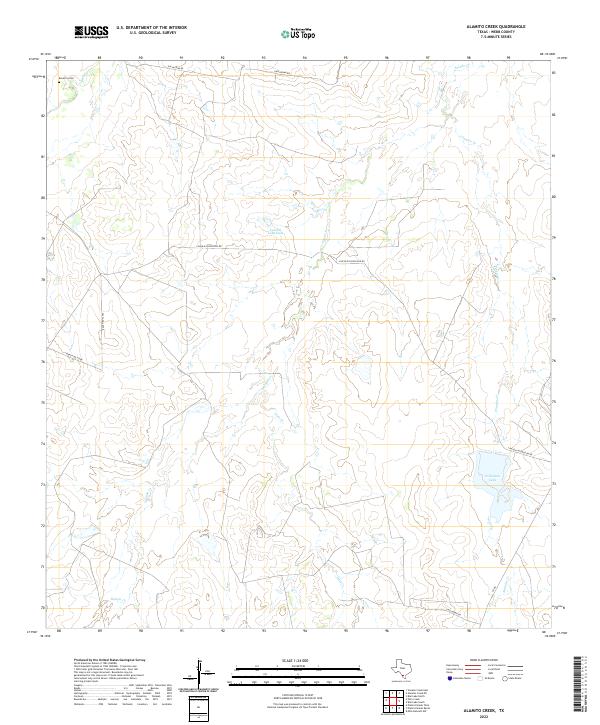
2022 Map of Alamito Creek
USGS Topo · Published 2022About this map
The Becerra Cem sits in the northwest corner of this South Texas landscape, providing a primary point of interest for genealogists tracing family roots in this rural part of Webb County. The terrain is defined by an intricate network of intermittent waterways, where Salado Cr and Alamito Cr cut through the arid brush country. Water management is evident through features like the Colwell Lake Dam and Nicholson Lake, which serve as vital resources in this ranching environment. Transportation is limited to a sparse grid of rural routes, including Gallaghan Rd and Lincoln/Nicholson Rd, which connect the disparate points of the cattle country. The map captures the quiet, expansive nature of the borderlands, where geographic nomenclature like Gato Cr and Becerra Cr reflects the deep cultural history of the region.
Find a feature on this map
13 named features on this map. Tap any name to fly to it.
Don’t see what you’re looking for? This feature index may not catch every label — zoom into the map to look around manually.
Map Details
Editions of this 2022 Alamito Creek Map
This is the sole edition of this map. No revisions or reprints were ever made.
Other maps of this area

1937 · Aguilete Creek
USGS Topo · 1:62,500

1956 · Becerra
USGS Topo · 1:62,500

1956 · Las Mujeres
USGS Topo · 1:62,500

1956 · Laredo
USGS Topo · 1:250,000

1968 · Mills Bennett NW
USGS Topo · 1:24,000
1973 · Biel Lake North
USGS Topo · 1:24,000
1974 · Biel Lake South
USGS Topo · 1:24,000
1980 · Alamito Creek
USGS Topo · 1:24,000
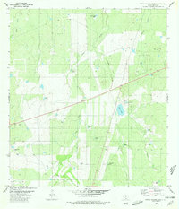
1980 · Piedra Parada Ranch
USGS Topo · 1:24,000
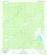
1980 · Piedra Parada Tank
USGS Topo · 1:24,000