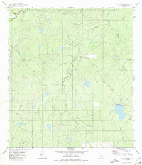
1980 Map of Alamito Creek
USGS Topo · Published 1980About this map
Salado Creek and Alamito Creek drain this landscape in Webb County, where ranching and resource extraction define the local economy during the late 1970s. The topography is dotted with dozens of small stock tanks and catchments, reflecting a reliance on surface water management in this arid Texas environment. Traces of local genealogy and settlement are found in the northwestern corner at Becerra Cem, located near the headwaters of Becerra Creek. Evidence of industrial activity is scattered across the terrain, with several Oil Well sites and Gravel Pit operations located along the ridgelines and creek beds. The map provides a detailed view of the rural infrastructure of the era, from unimproved roads to the specific locations of ranch buildings and perimeter fence lines.
Find a feature on this map
6 named features on this map. Tap any name to fly to it.
Don’t see what you’re looking for? This feature index may not catch every label — zoom into the map to look around manually.
Map Details
Editions of this 1980 Alamito Creek Map
This is the sole edition of this map. No revisions or reprints were ever made.
Other maps of this area

1937 · Aguilete Creek
USGS Topo · 1:62,500

1956 · Becerra
USGS Topo · 1:62,500

1956 · Las Mujeres
USGS Topo · 1:62,500

1956 · Laredo
USGS Topo · 1:250,000

1968 · Mills Bennett NW
USGS Topo · 1:24,000
1973 · Biel Lake North
USGS Topo · 1:24,000
1974 · Biel Lake South
USGS Topo · 1:24,000
1980 · Piedra Parada Ranch
USGS Topo · 1:24,000
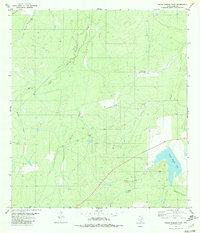
1980 · Piedra Parada Tank
USGS Topo · 1:24,000
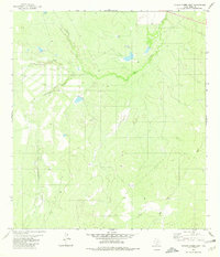
1980 · Venado Creek East
USGS Topo · 1:24,000