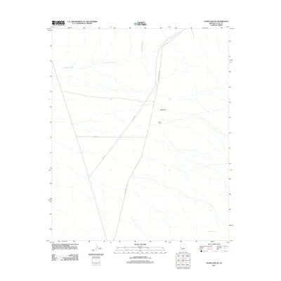
2011 Map of Alamo Dam SE
USGS Topo · Published 2011About this map
Conley Ranch sits in the heart of this desert landscape, a testament to the endurance of cattle ranching in the arid corridors of La Paz County. The terrain is defined by the drainage patterns of Cunningham Wash, which flows across the northern reaches, while the isolated elevation of Black Butte provides a distinct landmark against the surrounding flats. The transportation network is remarkably functional, anchored by the intersection of Alamo Rd and the Alamo Dam Access Rd. These routes, along with 86th St, facilitate movement through a region where water sources like Dripping Spring remain vital points of interest for those navigating the open range. This map captures the intersection of practical infrastructure and traditional land use in a quiet corner of the Arizona desert.
Find a feature on this map
7 named features on this map. Tap any name to fly to it.
Don’t see what you’re looking for? This feature index may not catch every label — zoom into the map to look around manually.
Map Details
Editions of this 2011 Alamo Dam SE Map
This is the sole edition of this map. No revisions or reprints were ever made.
Other maps of this area

1923 · Signal
USGS Topo · 1:250,000

1942 · Signal
USGS Topo · 1:250,000

1942 · Vicksburg
USGS Topo · 1:250,000

1950 · Prescott
USGS Topo · 1:250,000

1954 · Prescott
USGS Topo · 1:250,000

1954 · Phoenix
USGS Topo · 1:250,000

1957 · Phoenix
USGS Topo · 1:250,000

1958 · Prescott
USGS Topo · 1:250,000

1958 · Phoenix
USGS Topo · 1:250,000

1959 · Prescott
USGS Topo · 1:250,000