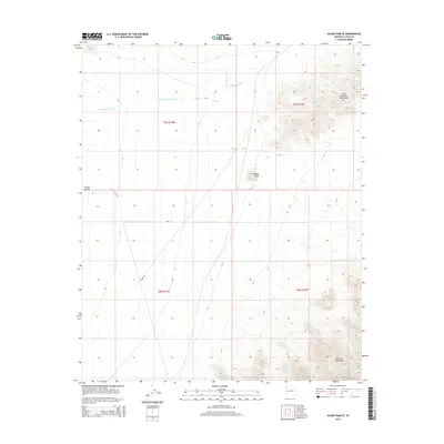
2014 Map of Alamo Dam SE
USGS Topo · Published 2014About this map
Cunningham Wash meanders across the arid terrain of western Arizona, defining the drainage patterns between prominent geological formations. The landscape is bracketed by the Little Buckskin Mountains to the northeast and the Harcuvar Mountains to the southeast, where Dripping Spring provides a rare water source in this desert environment. This 2014 survey documents a region largely defined by its natural topography rather than dense settlement, though human transit is marked by routes like Alamo Rd and 86th St. The broad expanse of Butler Valley occupies the western portion of the map, while Black Butte stands as a distinct landmark near the center. The map reflects a modern digital era of cartography, focusing on land management and the preservation of geographic data within La Paz County.
Find a feature on this map
12 named features on this map. Tap any name to fly to it.
Don’t see what you’re looking for? This feature index may not catch every label — zoom into the map to look around manually.
Map Details
Editions of this 2014 Alamo Dam SE Map
This is the sole edition of this map. No revisions or reprints were ever made.
Other maps of this area

1923 · Signal
USGS Topo · 1:250,000

1942 · Signal
USGS Topo · 1:250,000

1942 · Vicksburg
USGS Topo · 1:250,000

1950 · Prescott
USGS Topo · 1:250,000

1954 · Prescott
USGS Topo · 1:250,000

1954 · Phoenix
USGS Topo · 1:250,000

1957 · Phoenix
USGS Topo · 1:250,000

1958 · Prescott
USGS Topo · 1:250,000

1958 · Phoenix
USGS Topo · 1:250,000

1959 · Prescott
USGS Topo · 1:250,000