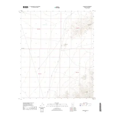
2018 Map of Alamo Dam SE
USGS Topo · Published 2018About this map
Little Buckskin Mountains and the Harcuvar Mountains define the high ground of this desert landscape in eastern La Paz County. The terrain is marked by significant topographical relief, where the steep slopes of Black Butte rise above the surrounding basin floor. Water sources are scarce in this arid environment, making the location of Dripping Spring a critical geographic landmark for anyone navigating the desert floor or the mountain passes.
Find a feature on this map
12 named features on this map. Tap any name to fly to it.
Don’t see what you’re looking for? This feature index may not catch every label — zoom into the map to look around manually.
Map Details
Editions of this 2018 Alamo Dam SE Map
This is the sole edition of this map. No revisions or reprints were ever made.
Other maps of this area

1923 · Signal
USGS Topo · 1:250,000

1942 · Signal
USGS Topo · 1:250,000

1942 · Vicksburg
USGS Topo · 1:250,000

1950 · Prescott
USGS Topo · 1:250,000

1954 · Prescott
USGS Topo · 1:250,000

1954 · Phoenix
USGS Topo · 1:250,000

1957 · Phoenix
USGS Topo · 1:250,000

1958 · Prescott
USGS Topo · 1:250,000

1958 · Phoenix
USGS Topo · 1:250,000

1959 · Prescott
USGS Topo · 1:250,000