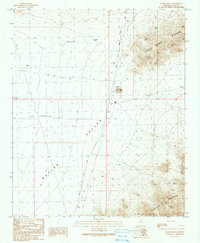
1990 Map of Alamo Dam SE
USGS Topo · Published 1990About this map
Butler Valley forms the central character of this desert landscape, bounded by the steep rises of the Harcuvar Mountains to the south and the Little Buckskin Mountains to the northeast. As of the late 1980s, the terrain shows a sparse network of human activity centered around the Alamo Dam Access Road and the Conley Ranch. This era of the valley is defined by mining interests and early infrastructure, including a prominent Trans Line and a remote Landing Strip in the valley floor.
Find a feature on this map
17 named features on this map. Tap any name to fly to it.
Don’t see what you’re looking for? This feature index may not catch every label — zoom into the map to look around manually.
Map Details
Editions of this 1990 Alamo Dam SE Map
This is the sole edition of this map. No revisions or reprints were ever made.
Other maps of this area

1923 · Signal
USGS Topo · 1:250,000

1942 · Signal
USGS Topo · 1:250,000

1942 · Vicksburg
USGS Topo · 1:250,000

1950 · Prescott
USGS Topo · 1:250,000

1954 · Prescott
USGS Topo · 1:250,000

1954 · Phoenix
USGS Topo · 1:250,000

1957 · Phoenix
USGS Topo · 1:250,000

1958 · Prescott
USGS Topo · 1:250,000

1958 · Phoenix
USGS Topo · 1:250,000

1959 · Prescott
USGS Topo · 1:250,000