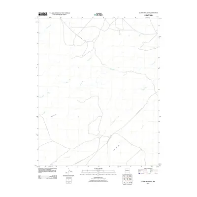
2010 Map of Alamo Mesa East
USGS Topo · Published 2010About this map
Alamo Mesa and the expansive Split Lip Flats define this high-desert landscape in the Eastern Navajo Agency. At the start of the twenty-first century, the area remains dominated by its natural drainage systems, primarily the De-na-zin Wash, Alamo Wash, and Willow Wash, which carve distinct patterns through the arid terrain. Human presence is sparse, etched onto the land primarily through transportation routes like Indian Service Route 7023 and County Rd 7200. This survey offers a clear view of the complex hydrography in a region where seasonal water flow dictates the geography, providing essential spatial data for understanding land management and traditional travel corridors in this portion of New Mexico.
Find a feature on this map
8 named features on this map. Tap any name to fly to it.
Don’t see what you’re looking for? This feature index may not catch every label — zoom into the map to look around manually.
Map Details
Editions of this 2010 Alamo Mesa East Map
This is the sole edition of this map. No revisions or reprints were ever made.
Other maps of this area

1889 · Largo
USGS Topo · 1:250,000

1889 · Chaco
USGS Topo · 1:250,000

1892 · Chaco
USGS Topo · 1:250,000

1895 · Largo
USGS Topo · 1:250,000

1954 · Shiprock
USGS Topo · 1:250,000

1954 · Aztec
USGS Topo · 1:250,000

1958 · Shiprock
USGS Topo · 1:250,000

1958 · Aztec
USGS Topo · 1:250,000

1959 · Shiprock
USGS Topo · 1:250,000

1962 · Aztec
USGS Topo · 1:250,000