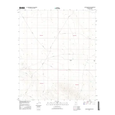
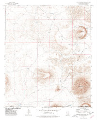
2017 Map of Alamo Mountain NE
USGS Topo · Published 2017About this map
The arid landscape of southern New Mexico's Otero County is defined by a sparse but critical network of water catchments and drainage ways in this 2017 survey. Strategic water features like Tulloch Lake, Cowan Lake, and Lake Tank are central to the terrain, reflecting the necessity of water management in a region where seasonal runoff is channeled through features such as Shiloh Draw and New Tank Draw. These basins, often designated as tanks, including Zazu Tank, New Tank, and Rob Tanks, suggest a history of ranching and livestock support that persists into the modern era.
Find a feature on this map
22 named features on this map. Tap any name to fly to it.
Don’t see what you’re looking for? This feature index may not catch every label — zoom into the map to look around manually.
Map Details
Editions of this 2017 Alamo Mountain NE Map
This is the sole edition of this map. No revisions or reprints were ever made.
Other maps of this area

1954 · Carlsbad
USGS Topo · 1:250,000

1958 · Carlsbad
USGS Topo · 1:250,000

1959 · Alamo Mountain
USGS Topo · 1:62,500

1963 · Cleones Tank
USGS Topo · 1:24,000
1970 · Mc Veigh Hills
USGS Topo · 1:24,000

1970 · Shiloh Hills
USGS Topo · 1:24,000
1975 · Alamo Mountain
USGS Topo · 1:24,000

1975 · Alamo Mountain NE
USGS Topo · 1:24,000
1975 · B T Ranch
USGS Topo · 1:24,000
1975 · Cornudas Mountain
USGS Topo · 1:24,000