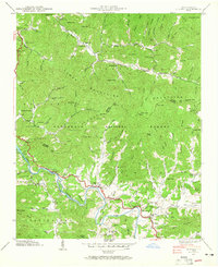
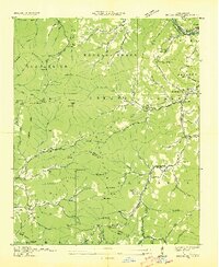
1940 Map of Alarka
USGS Topo · Published 1965About this map
Nantahala National Forest dominates the landscape of western North Carolina in this 1940 survey, where the peaks of the Cowee Mountains separate the valley of Alarka Creek from the southward flow of the Little Tennessee River. Small mountain communities and family-named landmarks are scattered throughout the drainages, including the settlements of Etna and Wests Mill. The transition from the high ridges of Scott Knob and Blackrock Knob to the river bottoms reveals a traditional Appalachian settlement pattern defined by local institutions like Cochran Ch, Alarka Sch, and the Snow Hill Ch.
Find a feature on this map
144 named features on this map. Tap any name to fly to it.
Don’t see what you’re looking for? This feature index may not catch every label — zoom into the map to look around manually.
Map Details
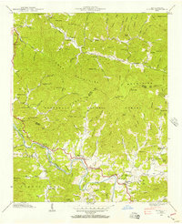
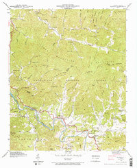
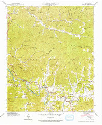
Editions of this 1940 Alarka Map
4 editions found
Other maps of this area

1891 · Cowee
USGS Topo · 1:125,000

1897 · Cowee
USGS Topo · 1:125,000

1907 · Cowee
USGS Topo · 1:125,000

1933 · Bryson
USGS Topo · 1:62,500

1933 · Bushnell
USGS Topo · 1:62,500

1935 · Franklin
USGS Topo · 1:24,000

1935 · Burningtown Bald
USGS Topo · 1:24,000

1935 · Wayah Bald
USGS Topo · 1:48,000

1935 · Corbin Knob
USGS Topo · 1:24,000
1936 · Greens Creek
USGS Topo · 1:24,000