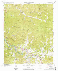
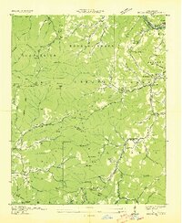
1940 Map of Alarka
USGS Topo · Published 1973About this map
Little Tennessee River winds through the heart of this 1940 survey, carving a path through the Cowee Mountains and defining the boundary between Swain and Macon counties. The landscape is characterized by isolated valley settlements and a network of mountain gaps, such as Sally Gap and Low Gap, which served as vital passage points between ridges. Significant local infrastructure is noted by landmarks like Lost Bridge and Mc Coy Bridge, which provided essential crossings before modern road realignments.
Find a feature on this map
114 named features on this map. Tap any name to fly to it.
Don’t see what you’re looking for? This feature index may not catch every label — zoom into the map to look around manually.
Map Details
Editions of this 1940 Alarka Map
4 editions found
Other maps of this area

1891 · Cowee
USGS Topo · 1:125,000

1897 · Cowee
USGS Topo · 1:125,000

1907 · Cowee
USGS Topo · 1:125,000

1933 · Bryson
USGS Topo · 1:62,500

1933 · Bushnell
USGS Topo · 1:62,500

1935 · Franklin
USGS Topo · 1:24,000

1935 · Burningtown Bald
USGS Topo · 1:24,000

1935 · Wayah Bald
USGS Topo · 1:48,000

1935 · Corbin Knob
USGS Topo · 1:24,000
1936 · Greens Creek
USGS Topo · 1:24,000