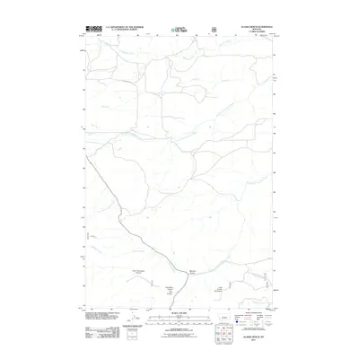
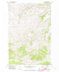
2011 Map of Alaska Bench
USGS Topo · Published 2011About this map
The Little Snowy Mountains define the southern landscape of this Fergus County quadrangle, where a complex network of drainages flows across the Montana prairie. This 2011 survey documents a remote ranching and grazing environment dominated by the North Fork Flatwillow Creek and its sister, the South Fork Flatwillow Creek. The terrain is deeply incised by several distinct geological features, including the dramatic North Horsethief Canyon and Horsethief Canyon near the southern boundary. These canyons, along with Maynard Coulee and Hay Coulee, suggest a landscape shaped by seasonal water movement and erosion. Human presence is sparse, marked primarily by rural access routes such as Alaska Bench Rd and Maynard, illustrating the vast, open-space character of central Montana's high plains during the early 21st century.
Find a feature on this map
15 named features on this map. Tap any name to fly to it.
Don’t see what you’re looking for? This feature index may not catch every label — zoom into the map to look around manually.
Map Details
Editions of this 2011 Alaska Bench Map
This is the sole edition of this map. No revisions or reprints were ever made.
Other maps of this area

1889 · Big Snowy Mountain
USGS Topo · 1:250,000

1893 · Big Snowy Mountain
USGS Topo · 1:250,000

1954 · Roundup
USGS Topo · 1:250,000

1958 · Roundup
USGS Topo · 1:250,000

1970 · Forestgrove
USGS Topo · 1:24,000

1970 · South Bench
USGS Topo · 1:24,000
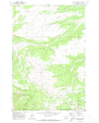
1970 · Alaska Bench
USGS Topo · 1:24,000
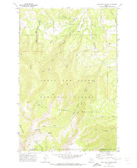
1970 · Half Moon Canyon
USGS Topo · 1:24,000
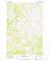
1970 · Heath
USGS Topo · 1:24,000
1970 · Loco Ridge
USGS Topo · 1:24,000