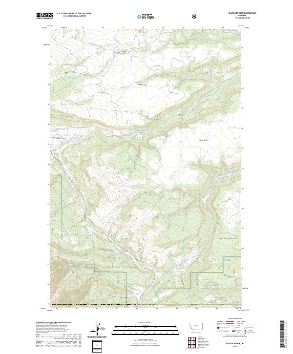
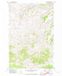
2024 Map of Alaska Bench
USGS Topo · Published 2024About this map
The Big Snowy Mountains and Little Snowy Mountains dominate the southern half of this landscape, where the Lewis & Clark National Forest encompasses high-elevation terrain. This transition from the mountains to the high plains is marked by distinctive geological features like the Alaska Bench and Middle Bench. These flat-topped landforms are cut by a complex drainage system including the North Fork Flatwillow Creek and the South Fork Flatwillow Creek, which carry seasonal runoff toward the east.
Find a feature on this map
26 named features on this map. Tap any name to fly to it.
Don’t see what you’re looking for? This feature index may not catch every label — zoom into the map to look around manually.
Map Details
Editions of this 2024 Alaska Bench Map
This is the sole edition of this map. No revisions or reprints were ever made.
Other maps of this area

1889 · Big Snowy Mountain
USGS Topo · 1:250,000

1893 · Big Snowy Mountain
USGS Topo · 1:250,000

1954 · Roundup
USGS Topo · 1:250,000

1958 · Roundup
USGS Topo · 1:250,000

1970 · Forestgrove
USGS Topo · 1:24,000

1970 · South Bench
USGS Topo · 1:24,000
1970 · Alaska Bench
USGS Topo · 1:24,000
1970 · Half Moon Canyon
USGS Topo · 1:24,000
1970 · Heath
USGS Topo · 1:24,000
1970 · Loco Ridge
USGS Topo · 1:24,000