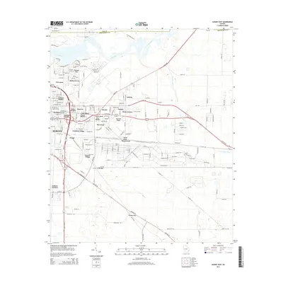
2014 Map of Albany East
USGS Topo · Published 2014About this map
Flint River defines the western edge of this 2014 survey, where the river's winding course separates the residential pockets of Turner City and Rolling Groves from the more densely developed blocks of Albany. The map reveals a suburban landscape shaped by numerous distinct subdivisions and neighborhoods, such as Isabella Heights, East Albany, and Pecan Haven. These residential names hint at the region's agricultural roots and its evolution into a series of interconnected communities.
Find a feature on this map
181 named features on this map. Tap any name to fly to it.
Don’t see what you’re looking for? This feature index may not catch every label — zoom into the map to look around manually.
Map Details
Editions of this 2014 Albany East Map
This is the sole edition of this map. No revisions or reprints were ever made.
Other maps of this area

1953 · Dothan
USGS Topo · 1:250,000

1953 · Waycross
USGS Topo · 1:250,000

1954 · Dothan
USGS Topo · 1:250,000

1955 · Dothan
USGS Topo · 1:250,000

1956 · Albany East
USGS Topo · 1:24,000

1956 · Albany West
USGS Topo · 1:24,000

1956 · Baconton
USGS Topo · 1:62,500

1956 · Sylvester
USGS Topo · 1:62,500

1956 · Doerun
USGS Topo · 1:62,500

1956 · Albany
USGS Topo · 1:62,500