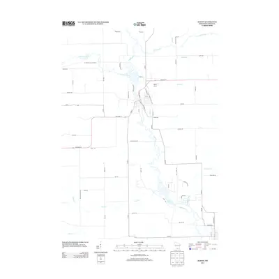
2013 Map of Albany
USGS Topo · Published 2013About this map
Sugar River meanders through this landscape in Green County, forming the central axis for a network of tributaries including Allen Creek and Little Sugar River. The convergence of these waters south toward Decatur Lake defines the local topography, which is marked by a blend of agricultural road networks and protected pathways. The Ice Age National Scenic Trail traverses the northern portion of the map, following the glacial history of the region. Transportation and transit are anchored by State Road 59 and the Albany Airport, while family-named routes like Edmunds Rd and English Settlement Rd point to the area's pioneer heritage. This 2013 survey illustrates how modern infrastructure, such as Co Hwy-E, aligns with the natural flow of Marsh Cr and Norwegian Creek to shape the township's development.
Find a feature on this map
62 named features on this map. Tap any name to fly to it.
Don’t see what you’re looking for? This feature index may not catch every label — zoom into the map to look around manually.
Map Details
Editions of this 2013 Albany Map
This is the sole edition of this map. No revisions or reprints were ever made.
Other maps of this area

1889 · Evansville
USGS Topo · 1:62,500

1893 · Brodhead
USGS Topo · 1:62,500

1894 · Evansville
USGS Topo · 1:62,500

1906 · Evansville
USGS Topo · 1:62,500

1920 · Monroe
USGS Topo · 1:62,500

1922 · Monroe
USGS Topo · 1:62,500

1923 · New Glarus
USGS Topo · 1:62,500

1954 · Rockford
USGS Topo · 1:250,000

1955 · Rockford
USGS Topo · 1:250,000

1958 · Rockford
USGS Topo · 1:250,000