Loading...
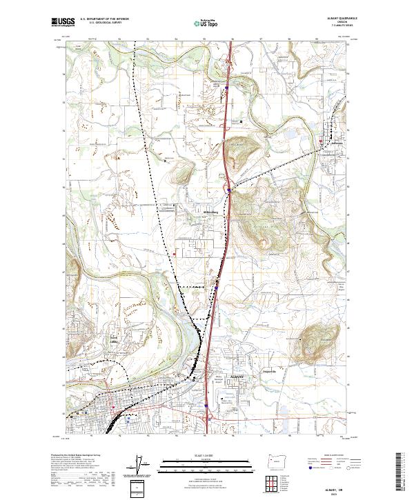
Loading map...2023 Map of Albany
USGS Topo · Published 2023About this map
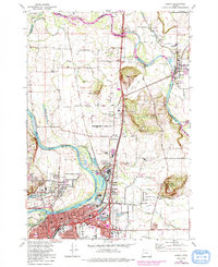
The Willamette River and Santiam River converge in this fertile valley, defining the landscape of north-central Oregon. Albany serves as the regional hub, where the Linn County Courthouse and a dense network of streets meet the Union Pacific railroad lines. The geography is marked by significant water features, from the meandering Cole Slough to the chain of lakes including First Lake and Fourth Lake.
Find a feature on this map
183 named features on this map. Tap any name to fly to it.
Don’t see what you’re looking for? This feature index may not catch every label — zoom into the map to look around manually.
Map Details
Date Portrayed2023
Date Published2023
PublisherU.S. Geological Survey
Map TypeTopographic
Scale1:24000
Physical Dimensions24 x 29 inches
Editions of this 2023 Albany Map
This is the sole edition of this map. No revisions or reprints were ever made.
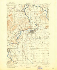
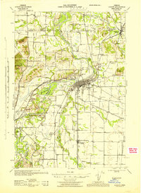
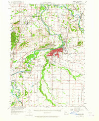
Historical Maps of North Albany Through Time
6 maps found
Featured Locations
Source Details
SourceU.S. Geological Survey
CopyrightPublic Domain