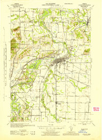
1944 Map of Albany
USGS Topo · Published 1944About this map
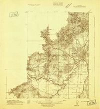
The Willamette River and Santiam River converge in this mid-century portrait of the fertile valley between the Mc Donald Forest and the cascades foothills. The city of Albany serves as the regional hub, its grid intersected by the Southern Pacific railroad and the Pacific Highway. The landscape is defined by its complex hydrology, featuring numerous oxbow lakes and islands such as Horseshoe Lake, Thornton Lake, and Stahlbusch Island, reflecting the shifting nature of the river channels before major flood control measures were finalized.
Find a feature on this map
93 named features on this map. Tap any name to fly to it.
Don’t see what you’re looking for? This feature index may not catch every label — zoom into the map to look around manually.
Map Details
Editions of this 1944 Albany Map
This is the sole edition of this map. No revisions or reprints were ever made.
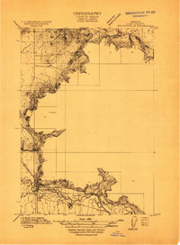
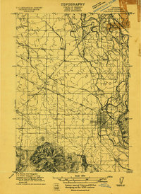
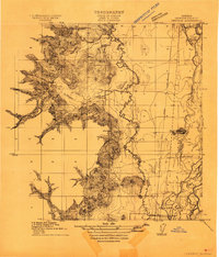
Other maps of this area
1911 · Brownsville
USGS Topo · 1:31,680
1911 · Lebanon
USGS Topo · 1:31,680

1911 · Tangent
USGS Topo · 1:31,680
1911 · Inavale
USGS Topo · 1:31,680

1912 · Jefferson
USGS Topo · 1:31,680

1912 · Halsey
USGS Topo · 1:62,500
1913 · Philomath
USGS Topo · 1:31,680

1913 · Oakville
USGS Topo · 1:31,680

1913 · Wells
USGS Topo · 1:31,680

1914 · Independence
USGS Topo · 1:31,680