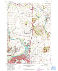
1970 Map of Albany
USGS Topo · Published 1991About this map
The Willamette River and Santiam River converge in this Willamette Valley landscape, shaping the development of Albany and Jefferson. Industrial growth is evident through the inclusion of several sewage disposal ponds and an industrial waste pond near Millersburg, reflecting the era's focus on municipal infrastructure. The terrain is punctuated by prominent landmarks such as Hale Butte, Scravel Hill, and Knox Butte, which rise above the river plains.
Find a feature on this map
51 named features on this map. Tap any name to fly to it.
Don’t see what you’re looking for? This feature index may not catch every label — zoom into the map to look around manually.
Map Details
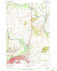
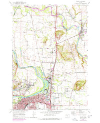
Editions of this 1970 Albany Map
3 editions found
Other maps of this area

1911 · Lebanon
USGS Topo · 1:31,680

1911 · Tangent
USGS Topo · 1:31,680

1912 · Jefferson
USGS Topo · 1:31,680

1913 · Oakville
USGS Topo · 1:31,680

1913 · Wells
USGS Topo · 1:31,680

1914 · Independence
USGS Topo · 1:31,680

1915 · Sidney
USGS Topo · 1:31,680

1916 · Albany
USGS Topo · 1:62,500

1917 · Salem
USGS Topo · 1:62,500

1921 · Lebanon
USGS Topo · 1:62,500