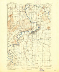
1916 Map of Albany
USGS Topo · Published 1948About this map
The Willamette River and its complex network of sloughs and cutoffs dominate this Willamette Valley landscape, reflecting the hydrological character of the region before modern flood controls. Near the confluence of the Santiam River, the river creates a series of named lakes such as First Lake, Second Lake, and Third Lake. The city of Albany serves as the central hub, where the Southern Pacific and Oregon Electric railroads intersect. Away from the town center, the landscape is defined by rural infrastructure, including numerous family and community schools like Hawk School and McFarland School, and the industrial Albany Ditch. The reliance on water transit is evident through the operation of Fischer Ferry and Williams Ferry on the southern reaches of the river, providing vital connections for farmers near Stahlbusch Island and Fischer Island.
Find a feature on this map
92 named features on this map. Tap any name to fly to it.
Don’t see what you’re looking for? This feature index may not catch every label — zoom into the map to look around manually.
Map Details
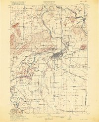
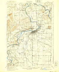
Editions of this 1916 Albany Map
4 editions found

Other maps of this area

1911 · Brownsville
USGS Topo · 1:31,680

1911 · Lebanon
USGS Topo · 1:31,680

1911 · Tangent
USGS Topo · 1:31,680

1911 · Inavale
USGS Topo · 1:31,680

1912 · Jefferson
USGS Topo · 1:31,680

1912 · Halsey
USGS Topo · 1:62,500

1913 · Philomath
USGS Topo · 1:31,680

1913 · Oakville
USGS Topo · 1:31,680

1913 · Wells
USGS Topo · 1:31,680

1914 · Independence
USGS Topo · 1:31,680