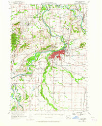
1957 Map of Albany
USGS Topo · Published 1965About this map
The Willamette River and its complex network of sloughs, channels, and islands dominate this mid-century survey of the mid-Willamette Valley. Large alluvial islands like Kiger Island and Stahlbusch Island are detailed alongside a landscape transitioning from the wartime footprint of Camp Adair State Mil Res to suburban growth at Adair Village. The map captures the significant agricultural and industrial presence in Albany, where the Southern Pacific tracks and the Pacific Highway East intersect with established local landmarks like Waverly Lake and Bryant Park.
Find a feature on this map
105 named features on this map. Tap any name to fly to it.
Don’t see what you’re looking for? This feature index may not catch every label — zoom into the map to look around manually.
Map Details
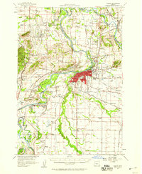
Editions of this 1957 Albany Map
2 editions found
Other maps of this area

1911 · Brownsville
USGS Topo · 1:31,680

1911 · Lebanon
USGS Topo · 1:31,680

1911 · Tangent
USGS Topo · 1:31,680

1911 · Inavale
USGS Topo · 1:31,680

1912 · Jefferson
USGS Topo · 1:31,680

1912 · Halsey
USGS Topo · 1:62,500

1913 · Philomath
USGS Topo · 1:31,680

1913 · Oakville
USGS Topo · 1:31,680

1913 · Wells
USGS Topo · 1:31,680

1914 · Independence
USGS Topo · 1:31,680