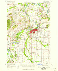
1957 Map of Albany
USGS Topo · Published 1959About this map
The confluence of the Santiam River and the Willamette River anchors this mid-century look at the Willamette Valley. The city of Albany serves as the regional hub, showing a dense grid of streets and industry concentrated along the Southern Pacific railroad lines and the Santiam Road. The landscape is a mosaic of agriculture and civic life, evidenced by the numerous country schools like McFarland School and Price School, alongside community centers such as Morning Star Grange and Riverside Hall.
Find a feature on this map
92 named features on this map. Tap any name to fly to it.
Don’t see what you’re looking for? This feature index may not catch every label — zoom into the map to look around manually.
Map Details
Editions of this 1957 Albany Map
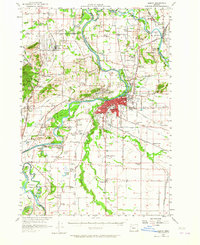
2 editions found
Other maps of this area

1911 · Brownsville
USGS Topo · 1:31,680

1911 · Lebanon
USGS Topo · 1:31,680

1911 · Tangent
USGS Topo · 1:31,680

1911 · Inavale
USGS Topo · 1:31,680

1912 · Jefferson
USGS Topo · 1:31,680

1912 · Halsey
USGS Topo · 1:62,500

1913 · Philomath
USGS Topo · 1:31,680

1913 · Oakville
USGS Topo · 1:31,680

1913 · Wells
USGS Topo · 1:31,680

1914 · Independence
USGS Topo · 1:31,680