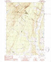
1986 Map of Albany
USGS Topo · Published 1987About this map
The Lowell Mountains dominate the western portion of this Vermont landscape, creating a high-elevation barrier between the townships of Eden and Albany. Settlement is concentrated in the eastern river valleys, most notably at Craftsbury Common and the village of Craftsbury situated along the Black River. These communities are defined by their traditional New England layout, with church and post office locations marking the social hubs of the rural districts. To the north, Mill Village sits near the headwaters, while the rugged upland terrain to the west is largely preserved within the Wild Branch State Wildlife Management Area. The numerous 4WD tracks and trails winding through Eden Notch and around Mt Norris reflect a landscape used for logging and recreation, contrasting with the more established agricultural and residential patterns found in the eastern lowlands.
Find a feature on this map
32 named features on this map. Tap any name to fly to it.
Don’t see what you’re looking for? This feature index may not catch every label — zoom into the map to look around manually.
Map Details
Editions of this 1986 Albany Map
2 editions found
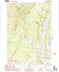
Other maps of this area

1919 · Montgomery
USGS Topo · 1:62,500

1920 · Montgomery
USGS Topo · 1:62,500

1920 · Irasburg
USGS Topo · 1:62,500

1923 · Irasburg
USGS Topo · 1:48,000

1925 · Irasburg
USGS Topo · 1:62,500

1925 · Jay Peak
USGS Topo · 1:62,500

1927 · Hyde Park
USGS Topo · 1:48,000

1928 · Hardwick
USGS Topo · 1:62,500

1930 · Hyde Park
USGS Topo · 1:62,500

1934 · Hardwick
USGS Topo · 1:48,000