
1993 Map of Albemarle
USGS Topo · Published 1996About this map
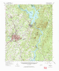
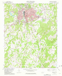
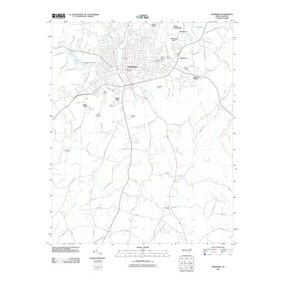
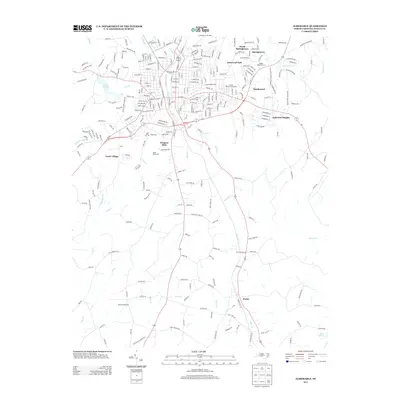
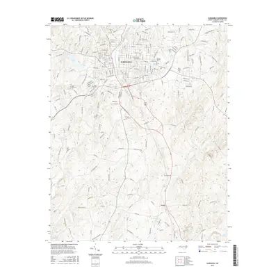
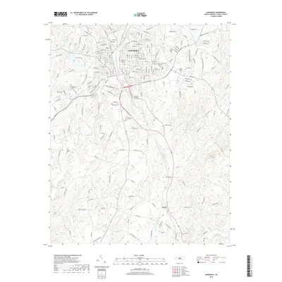
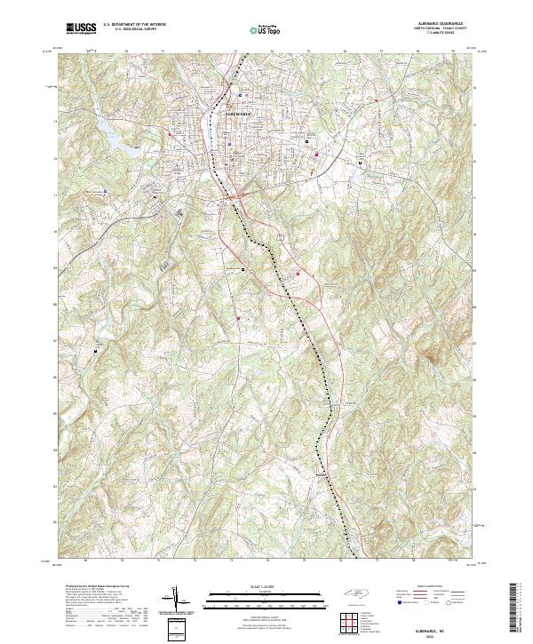
Albemarle serves as the focal point of this Stanly County landscape, showing significant suburban expansion and infrastructure as it appeared in the mid-1990s. The city core is dense with civic markers, including the Po, Libr, and Fire Sta, while the outskirts reveal a transition toward industrial and educational facilities such as the Stanly Technical Institute. Of particular interest to local historians is the Abandoned Airport located southeast of the main city center, a relic of earlier aviation history situated near Rock Creek Park.
Find a feature on this map
58 named features on this map. Tap any name to fly to it.
Don’t see what you’re looking for? This feature index may not catch every label — zoom into the map to look around manually.
Map Details
Editions of this 1993 Albemarle Map
This is the sole edition of this map. No revisions or reprints were ever made.
Historical Maps of Albemarle Through Time
8 maps found
Featured Locations
- Cedar Village, NC
- Albemarle, NC
- Anderson Heights, Albemarle
- Eastwood Park, Albemarle
- Heathwood, Albemarle