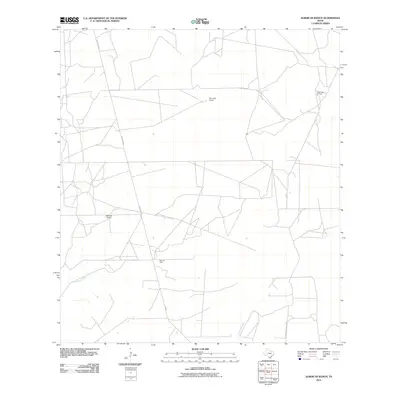
2010 Map of Albercas Ranch
USGS Topo · Published 2010About this map
The dry ranchlands of Webb County are defined here by a network of private roads and petroleum developments at the start of the 21st century. Named ranching headquarters like San Jose Ranch and the namesake Albercas Ranch serve as central points in a landscape sparse of permanent settlements. The map illustrates the local energy economy, showing the extent of the Quien Sabe Oil Field and the Glen Oil Field, which are integrated into the arid terrain alongside seasonal watercourses such as Albercas Creek and the Arroyo Grande. Transportation through this corner of South Texas relies on routes like FM 649 and Casa Blanca Ranch Rd, which connect the scattered ranch properties and industrial sites to the broader region.
Find a feature on this map
9 named features on this map. Tap any name to fly to it.
Don’t see what you’re looking for? This feature index may not catch every label — zoom into the map to look around manually.
Map Details
Editions of this 2010 Albercas Ranch Map
This is the sole edition of this map. No revisions or reprints were ever made.
Other maps of this area

1939 · Bruni
USGS Topo · 1:62,500

1939 · Randado
USGS Topo · 1:62,500

1940 · Aguilares
USGS Topo · 1:62,500

1940 · Randado
USGS Topo · 1:62,500

1940 · Mogotes Hill
USGS Topo · 1:62,500

1956 · Mogotes Hill
USGS Topo · 1:62,500

1956 · Laredo
USGS Topo · 1:250,000

1972 · Armstrong Ranch
USGS Topo · 1:24,000

1972 · Albercas Ranch
USGS Topo · 1:24,000

1972 · Bruni SE
USGS Topo · 1:24,000