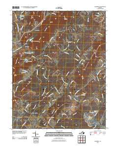
2010 Map of Alberene
USGS Topo · Published 2010About this map
Green Mountain and Carters Mountain dominate this central Virginia landscape, framing a region defined by agricultural estates and the headwaters of the Hardware River. The settlement at Alberene anchors the southwest corner, while the historic namesake of Estouteville lies nearby, reflecting the deep-rooted plantation history of Albemarle County. Local family and community history is preserved in several burial grounds, including Grace Cemetery and Mount Olivet Cemetery, scattered among the hills and creek valleys. Water management is a visible priority across the terrain, with features like Red Hill Orchard Dam and the Superior Stone Company Dam indicating a mix of commercial agriculture and industrial utility. Between the ridges, smaller communities such as Red Hill and Redlands sit near winding rural roads like Old Lynchburg Rd and Dudley Mountain Rd, maintaining the area's pastoral character into the early 21st century.
Find a feature on this map
83 named features on this map. Tap any name to fly to it.
Don’t see what you’re looking for? This feature index may not catch every label — zoom into the map to look around manually.
Map Details
Editions of this 2010 Alberene Map
This is the sole edition of this map. No revisions or reprints were ever made.
Other maps of this area

1891 · Palmyra
USGS Topo · 1:125,000

1892 · Buckingham
USGS Topo · 1:125,000

1892 · Gordonsville
USGS Topo · 1:125,000

1892 · Harrisonburg
USGS Topo · 1:125,000

1895 · Palmyra
USGS Topo · 1:125,000

1897 · Palmyra
USGS Topo · 1:125,000

1929 · Covesville
USGS Topo · 1:62,500

1931 · University
USGS Topo · 1:62,500

1935 · Charlottesville
USGS Topo · 1:62,500

1935 · Charlottesville And Vicinity
USGS Topo · 1:31,680