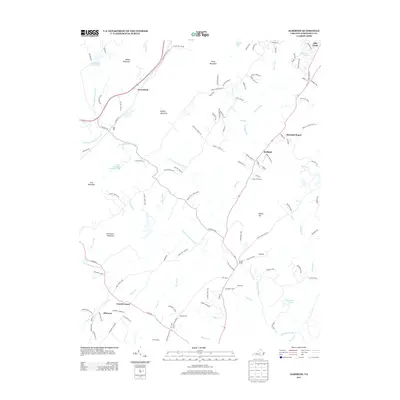
2013 Map of Alberene
USGS Topo · Published 2013About this map
The N Fork Hardware River and S Fork Hardware River define this portion of Albemarle County, where the Piedmont landscape transitions into a series of prominent ridges. Landmarks like Gibson Mountain, Piney Mountain, and Dudley Mountain overlook a network of established estates and small communities. Historically significant locations such as Estouteville, Enniscorthy, and Viewmont anchor the southern half of the sheet, reflecting the area's deep roots in Virginia agricultural history. Near Alberene, the presence of Quarry Cr alludes to the region's industrial past in soapstone extraction, while modern recreation is represented by Walnut Creek Park. The map also traces older travel routes like Old Lynchburg Rd and Plank Rd, which connect rural hubs like Carters Bridge and Powell Corner to the wider county.
Find a feature on this map
114 named features on this map. Tap any name to fly to it.
Don’t see what you’re looking for? This feature index may not catch every label — zoom into the map to look around manually.
Map Details
Editions of this 2013 Alberene Map
This is the sole edition of this map. No revisions or reprints were ever made.
Other maps of this area

1891 · Palmyra
USGS Topo · 1:125,000

1892 · Buckingham
USGS Topo · 1:125,000

1892 · Gordonsville
USGS Topo · 1:125,000

1892 · Harrisonburg
USGS Topo · 1:125,000

1895 · Palmyra
USGS Topo · 1:125,000

1897 · Palmyra
USGS Topo · 1:125,000

1929 · Covesville
USGS Topo · 1:62,500

1931 · University
USGS Topo · 1:62,500

1935 · Charlottesville
USGS Topo · 1:62,500

1935 · Charlottesville And Vicinity
USGS Topo · 1:31,680