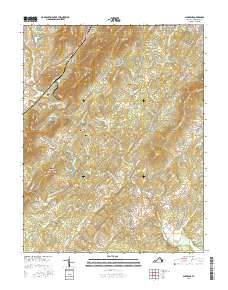
2016 Map of Alberene
USGS Topo · Published 2016About this map
Alberene and its surrounding Piedmont countryside are defined by a pattern of historic estates and family-named agricultural operations. The landscape is anchored by the Hardware River and its North Fork, where the terrain transitions from the heights of Carters Mtn and Dudley Mtn into fertile valleys. This era shows the persistence of named agrarian landmarks like Estouteville Farm, Redland Farm, and Viewmount Farm, reflecting the deep-seated landownership traditions of Albemarle County.
Find a feature on this map
97 named features on this map. Tap any name to fly to it.
Don’t see what you’re looking for? This feature index may not catch every label — zoom into the map to look around manually.
Map Details
Editions of this 2016 Alberene Map
This is the sole edition of this map. No revisions or reprints were ever made.
Other maps of this area

1891 · Palmyra
USGS Topo · 1:125,000

1892 · Buckingham
USGS Topo · 1:125,000

1892 · Gordonsville
USGS Topo · 1:125,000

1892 · Harrisonburg
USGS Topo · 1:125,000

1895 · Palmyra
USGS Topo · 1:125,000

1897 · Palmyra
USGS Topo · 1:125,000

1929 · Covesville
USGS Topo · 1:62,500

1931 · University
USGS Topo · 1:62,500

1935 · Charlottesville
USGS Topo · 1:62,500

1935 · Charlottesville And Vicinity
USGS Topo · 1:31,680