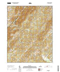
2019 Map of Alberene
USGS Topo · Published 2019About this map
Alberene and the surrounding Albemarle County landscape are defined by a network of historic rural estates and family farms, including Estouteville Farm, Nutmeg Farm, and Viewmont Farm. The terrain is characterized by prominent ridges such as Gibson Mtn and Dudley Mtn, with the Hardware River and its various forks carving through the valleys. This 2019 survey documents a landscape where agricultural heritage and modern residential growth coexist, evidenced by named residential roads branching off older routes like Scottsville Rd. Genealogists will find significant value in the documentation of several local burial sites, such as Hardware Baptist Church Cem and Grace Cem, while the inclusion of landmarks like Arrowhead and Round Top provides precise reference points for local history researchers exploring the rural Piedmont region southwest of Charlottesville.
Find a feature on this map
110 named features on this map. Tap any name to fly to it.
Don’t see what you’re looking for? This feature index may not catch every label — zoom into the map to look around manually.
Map Details
Editions of this 2019 Alberene Map
This is the sole edition of this map. No revisions or reprints were ever made.
Other maps of this area

1891 · Palmyra
USGS Topo · 1:125,000

1892 · Buckingham
USGS Topo · 1:125,000

1892 · Gordonsville
USGS Topo · 1:125,000

1892 · Harrisonburg
USGS Topo · 1:125,000

1895 · Palmyra
USGS Topo · 1:125,000

1897 · Palmyra
USGS Topo · 1:125,000

1929 · Covesville
USGS Topo · 1:62,500

1931 · University
USGS Topo · 1:62,500

1935 · Charlottesville
USGS Topo · 1:62,500

1935 · Charlottesville And Vicinity
USGS Topo · 1:31,680