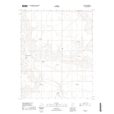
2020 Map of Albert
USGS Topo · Published 2020About this map
Albert sits at the junction of Carrizo Canyon and Tequesquite Canyon in this corner of Harding County. The landscape is defined by a series of deep drainage cuts into the high plains, including Plum Rincon Canyon, Asperos Canyon, and Lalo Canyon, which all feed toward the winding path of Tequesquite Cr. This 2020 survey illustrates the isolation and specialized land use of the region, where transportation is limited to routes like Tequesquite Rd and aviation facilities like the Tequesquite Ranch Airport. Large geographic features such as Mesa Quitaras dominate the eastern portion of the quadrangle, while smaller water sources like Revool Springs indicate the vital, sparse points of hydration in this arid ranching environment.
Find a feature on this map
17 named features on this map. Tap any name to fly to it.
Don’t see what you’re looking for? This feature index may not catch every label — zoom into the map to look around manually.
Map Details
Editions of this 2020 Albert Map
This is the sole edition of this map. No revisions or reprints were ever made.
Other maps of this area

1954 · Tucumcari
USGS Topo · 1:250,000

1954 · Dalhart
USGS Topo · 1:250,000

1958 · Tucumcari
USGS Topo · 1:250,000

1958 · Dalhart
USGS Topo · 1:250,000

1962 · Dalhart
USGS Topo · 1:250,000

1973 · Circle Bar Ranch
USGS Topo · 1:24,000

1973 · Yates SE
USGS Topo · 1:24,000

1973 · Mosquero
USGS Topo · 1:24,000

1973 · Sabino
USGS Topo · 1:24,000
1973 · Bueyeros
USGS Topo · 1:24,000