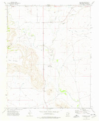
1973 Map of Bueyeros
USGS Topo · Published 1978About this map
Bueyeros anchors this high-plains landscape in Harding County, where the transition from level grasslands to broken canyon country defines the local geography. The winding course of Ute Creek dominates the center of the sheet, joined by seasonal tributaries like Salado Creek and Del Muerto Creek. To the west, the massive escarpment of Mesa Quitaras rises sharply from the valley floor, cut by deep drainages such as Asperos Canyon.
Find a feature on this map
12 named features on this map. Tap any name to fly to it.
Don’t see what you’re looking for? This feature index may not catch every label — zoom into the map to look around manually.
Map Details
Editions of this 1973 Bueyeros Map
This is the sole edition of this map. No revisions or reprints were ever made.
Other maps of this area

1954 · Tucumcari
USGS Topo · 1:250,000

1954 · Dalhart
USGS Topo · 1:250,000

1958 · Tucumcari
USGS Topo · 1:250,000

1958 · Dalhart
USGS Topo · 1:250,000

1962 · Dalhart
USGS Topo · 1:250,000

1973 · Bueyeros NE
USGS Topo · 1:24,000

1973 · Circle Bar Ranch
USGS Topo · 1:24,000
1973 · Indian Bathtub
USGS Topo · 1:24,000

1973 · Yates SE
USGS Topo · 1:24,000
1973 · Minnie Butte
USGS Topo · 1:24,000