
1972 Map of Mills West
USGS Topo · Published 1975About this map
Canadian River canyonlands dominate the southwestern landscape of this Harding County survey, where steep escarpments drop from the high plains into the river valley. The settlement of Mills sits on the eastern edge of the quadrangle, characterized by the presence of Storage Bins and its proximity to the Old Railroad Grade, a reminder of the transportation corridors that once linked this plateau to wider markets.
Find a feature on this map
14 named features on this map. Tap any name to fly to it.
Don’t see what you’re looking for? This feature index may not catch every label — zoom into the map to look around manually.
Map Details
Editions of this 1972 Mills West Map
This is the sole edition of this map. No revisions or reprints were ever made.
Other maps of this area

1954 · Santa Fe
USGS Topo · 1:250,000

1954 · Raton
USGS Topo · 1:250,000

1958 · Raton
USGS Topo · 1:250,000

1958 · Santa Fe
USGS Topo · 1:250,000

1971 · Abbott Lake
USGS Topo · 1:24,000

1971 · Beaver Canyon
USGS Topo · 1:24,000

1971 · Canon Las Cuevas
USGS Topo · 1:24,000

1972 · Canon Colorado
USGS Topo · 1:24,000
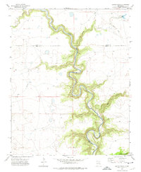
1972 · Jaritas Ranch
USGS Topo · 1:24,000
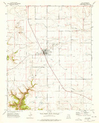
1974 · Roy
USGS Topo · 1:24,000