
1974 Map of Spear Hills
USGS Topo · Published 1978About this map
Spear Hills define the high ground of this northeastern New Mexico landscape, straddling the border between Colfax and Harding counties. The terrain is marked by a network of drainage systems, including Carrizo Creek, Salado Creek, and several named draws like Hubsch Draw and Alex Draw, which reveal the hydrology of this semi-arid region. At the time of this 1970s survey, the area was sparsely populated, characterized by isolated wells and ranch sites that speak to the grazing history of the high plains.
Find a feature on this map
23 named features on this map. Tap any name to fly to it.
Don’t see what you’re looking for? This feature index may not catch every label — zoom into the map to look around manually.
Map Details
Editions of this 1974 Spear Hills Map
This is the sole edition of this map. No revisions or reprints were ever made.
Other maps of this area

1954 · Raton
USGS Topo · 1:250,000

1958 · Raton
USGS Topo · 1:250,000

1965 · Abbott
USGS Topo · 1:24,000

1971 · Abbott Lake
USGS Topo · 1:24,000

1972 · Mills West
USGS Topo · 1:24,000
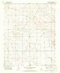
1974 · Kansas Valley
USGS Topo · 1:24,000

1974 · Farley
USGS Topo · 1:24,000
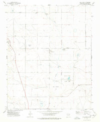
1974 · Mills East
USGS Topo · 1:24,000
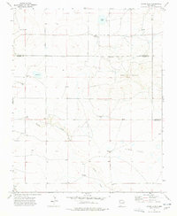
1974 · Divine Lake
USGS Topo · 1:24,000
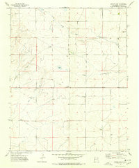
1974 · Ingram Lake
USGS Topo · 1:24,000