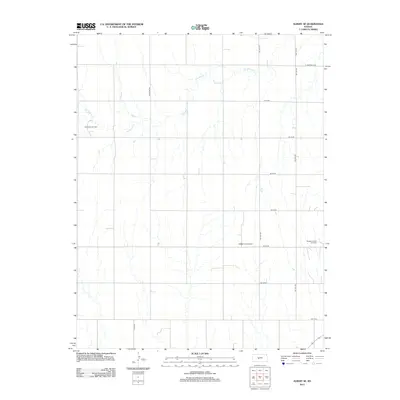
2012 Map of Albert SE
USGS Topo · Published 2012About this map
Dry Walnut Cr meanders across this rural section of Barton County, defining a landscape where agriculture and energy extraction intersect. The map illustrates a strict section-line grid of rural routes, including Schaffer Rd and Toles Rd, which segment the terrain for large-scale farming and resource management. This period of the early twenty-first century shows the continued importance of the local petroleum industry, with several established production areas mapped across the territory. Notable energy sites like the Rutherford Oil Field in the west, the Pawnee Rock Oil Field near the center, and the Bergtal Oil and Gas Field in the east reveal the subterranean wealth that has long supported the region's economy alongside traditional ranching and cultivation.
Find a feature on this map
17 named features on this map. Tap any name to fly to it.
Don’t see what you’re looking for? This feature index may not catch every label — zoom into the map to look around manually.
Map Details
Editions of this 2012 Albert SE Map
This is the sole edition of this map. No revisions or reprints were ever made.
Other maps of this area

1889 · Larned
USGS Topo · 1:125,000

1891 · Great Bend
USGS Topo · 1:125,000

1891 · Larned
USGS Topo · 1:125,000

1893 · Great Bend
USGS Topo · 1:125,000

1955 · Great Bend
USGS Topo · 1:250,000

1957 · Great Bend
USGS Topo · 1:250,000

1958 · Great Bend
USGS Topo · 1:250,000

1960 · Pawnee Rock
USGS Topo · 1:24,000
1960 · Heizer
USGS Topo · 1:24,000
1965 · Albert
USGS Topo · 1:24,000