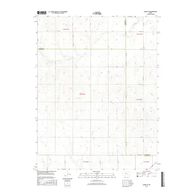
2015 Map of Albert SE
USGS Topo · Published 2015About this map
The tri-county border of Rush Co, Barton Co, and Pawnee Co meets in this western Kansas landscape, where the seasonal drainage of Dry Walnut Cr meanders across the northwestern and northeastern corners. The map shows a strictly organized section-line grid system, typical of the Great Plains, with roads like Schaffer Rd and W Barton Co Rd following the township and range boundaries of t19s r16w and t20s r15w. This 2015 survey reveals an agricultural expanse almost entirely devoid of concentrated settlements, defined instead by the vast intervals between north-south corridors such as 90th Ave and 80th Ave. For the researcher, the map illustrates the enduring geometry of the Public Land Survey System and how the terrain dictates the sparse, functional road network of the Kansas heartland.
Find a feature on this map
40 named features on this map. Tap any name to fly to it.
Don’t see what you’re looking for? This feature index may not catch every label — zoom into the map to look around manually.
Map Details
Editions of this 2015 Albert SE Map
This is the sole edition of this map. No revisions or reprints were ever made.
Other maps of this area

1889 · Larned
USGS Topo · 1:125,000

1891 · Great Bend
USGS Topo · 1:125,000

1891 · Larned
USGS Topo · 1:125,000

1893 · Great Bend
USGS Topo · 1:125,000

1955 · Great Bend
USGS Topo · 1:250,000

1957 · Great Bend
USGS Topo · 1:250,000

1958 · Great Bend
USGS Topo · 1:250,000

1960 · Pawnee Rock
USGS Topo · 1:24,000
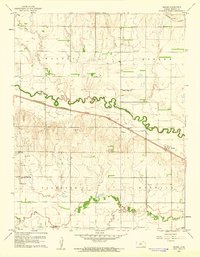
1960 · Heizer
USGS Topo · 1:24,000
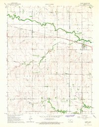
1965 · Albert
USGS Topo · 1:24,000