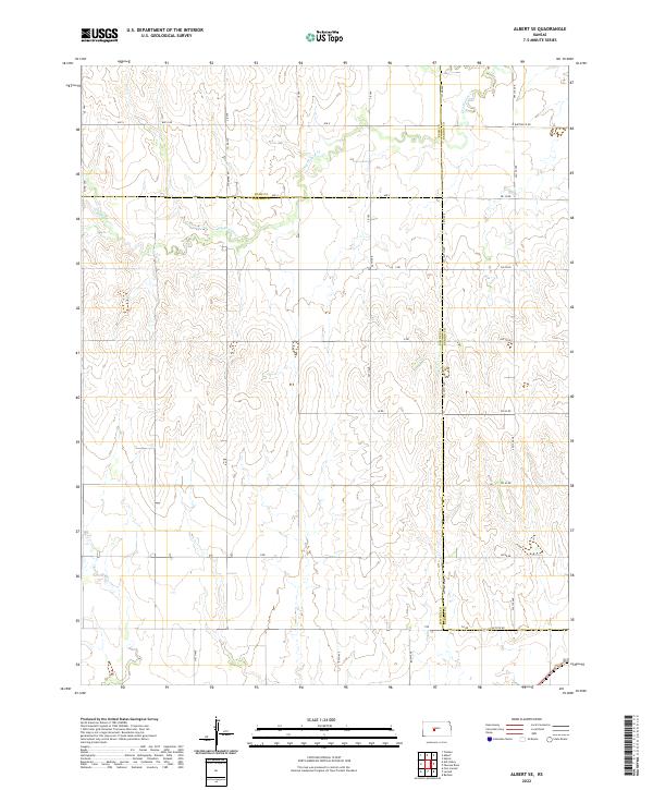
2022 Map of Albert SE
USGS Topo · Published 2022About this map
The agrarian landscape of central Kansas is defined here by the intersection of three counties—Rush, Pawnee, and Barton. The terrain is shaped by the winding course of Dry Walnut Cr, which cuts through the high plains. This map captures a modern snapshot of the region's rigid section-line road grid, which has dictated the settlement and agricultural patterns since the nineteenth century.
Find a feature on this map
40 named features on this map. Tap any name to fly to it.
Don’t see what you’re looking for? This feature index may not catch every label — zoom into the map to look around manually.
Map Details
Editions of this 2022 Albert SE Map
This is the sole edition of this map. No revisions or reprints were ever made.
Other maps of this area

1889 · Larned
USGS Topo · 1:125,000

1891 · Great Bend
USGS Topo · 1:125,000

1891 · Larned
USGS Topo · 1:125,000

1893 · Great Bend
USGS Topo · 1:125,000

1955 · Great Bend
USGS Topo · 1:250,000

1957 · Great Bend
USGS Topo · 1:250,000

1958 · Great Bend
USGS Topo · 1:250,000

1960 · Pawnee Rock
USGS Topo · 1:24,000
1960 · Heizer
USGS Topo · 1:24,000
1965 · Albert
USGS Topo · 1:24,000