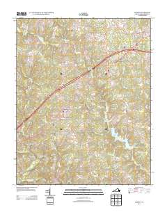
2013 Map of Alberta
USGS Topo · Published 2013About this map
The Meherrin River defines the southern reach of this Brunswick County landscape, where traditional rural settlements like Alberta and Cochran are interspersed with historical crossings and crossroads. The map documents a transition from the older river-and-road network to modern transit, evidenced by the alignment of the Old Indian Rd and the Shining Creek Rd intersecting with newer thoroughfares. Named localities such as Meredithville, Grandy, and Charlie Hope represent small communities anchored by regional watercourses including Totaro Cr and Great Cr. The presence of Price Mill suggests a legacy of local industry along the interior creeks, while the grid layout of Alberta in the northeast corner shows more concentrated development compared to the surrounding agricultural and timber lands. This survey provides a clear view of the area's geography before further suburban expansion, preserving the names of local landmarks like Gees Bridge and Becky Br.
Find a feature on this map
70 named features on this map. Tap any name to fly to it.
Don’t see what you’re looking for? This feature index may not catch every label — zoom into the map to look around manually.
Map Details
Editions of this 2013 Alberta Map
This is the sole edition of this map. No revisions or reprints were ever made.
Other maps of this area

1918 · Lawrenceville
USGS Topo · 1:62,500

1919 · White Plains
USGS Topo · 1:48,000

1920 · Lawrenceville
USGS Topo · 1:48,000

1920 · White Plains
USGS Topo · 1:62,500

1921 · Lawrenceville
USGS Topo · 1:62,500

1942 · Lawrenceville
USGS Topo · 1:62,500
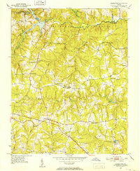
1951 · Danieltown
USGS Topo · 1:24,000
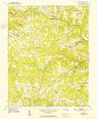
1951 · Warfield
USGS Topo · 1:24,000

1953 · Norfolk
USGS Topo · 1:250,000

1953 · Greensboro
USGS Topo · 1:250,000