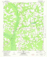
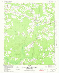
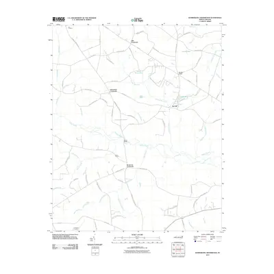
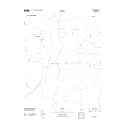
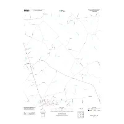
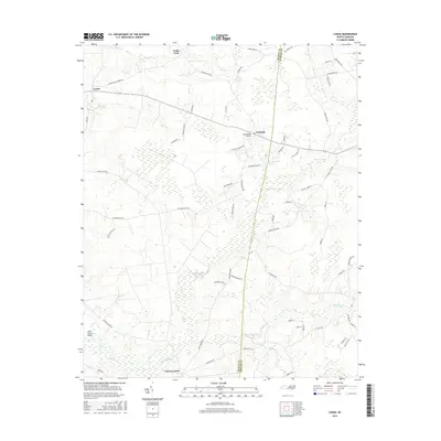
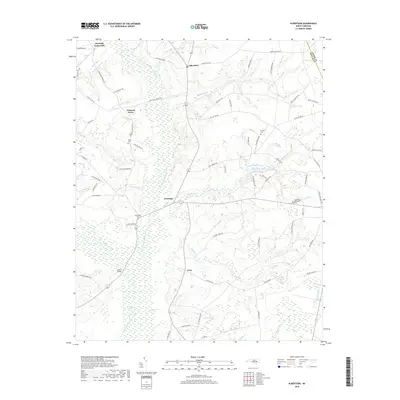
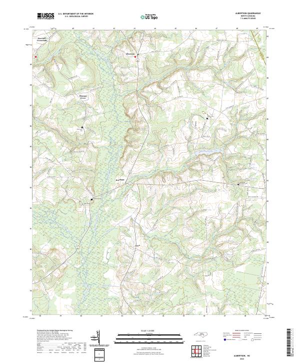
1980 Map of Albertson
USGS Topo · Published 1981About this map
The Northeast Cape Fear River dominates this landscape on the Duplin and Lenoir county line, where slow-moving water and dense wetlands like Goshen Swamp define the geography. Centered on Albertson, the region is a patchwork of rural crossroads and community hubs, including Herrings Crossroads and Kornegay. The map details the civic and spiritual foundations of the area, noting the Albertson Adult Education Center, Grady High Sch, and numerous country churches such as Piney Grove Ch and Bethany Ch.
Find a feature on this map
42 named features on this map. Tap any name to fly to it.
Don’t see what you’re looking for? This feature index may not catch every label — zoom into the map to look around manually.
Map Details
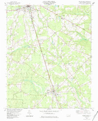
Editions of this 1980 Albertson Map
This is the sole edition of this map. No revisions or reprints were ever made.
Historical Maps of Albertson Through Time
36 maps found
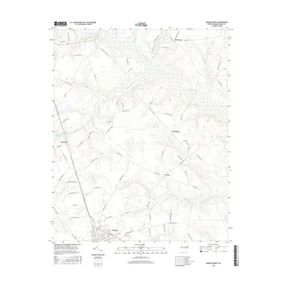
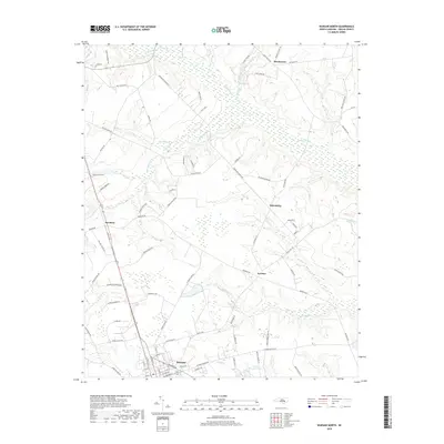
1977 Warsaw North
Duplin County, NC
1980 Albertson
Duplin County, NC
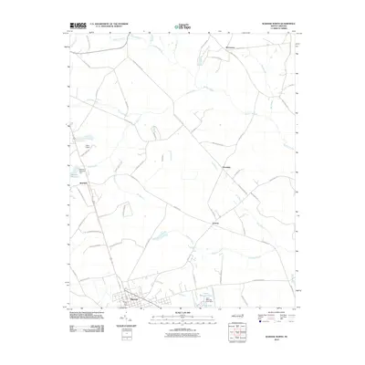
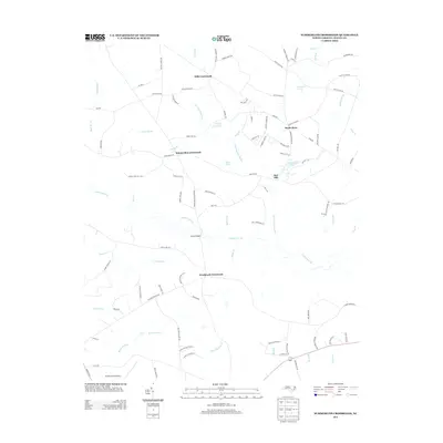
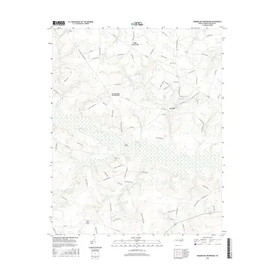
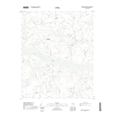
1980 Summerlins Crossroads
Duplin County, NC
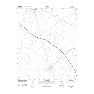
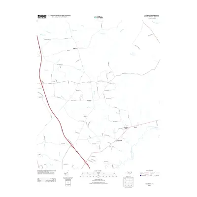
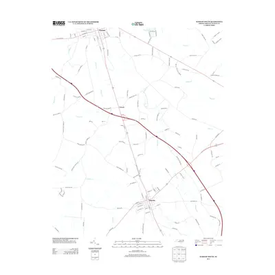
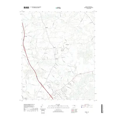
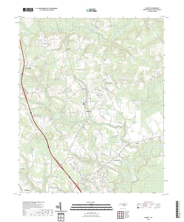
1981 Charity
Duplin County, NC
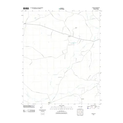
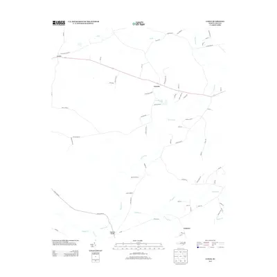
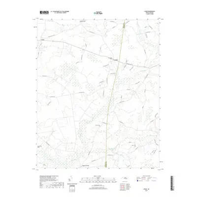
1981 Lyman
Duplin County, NC
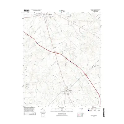
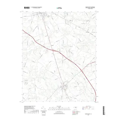
1984 Warsaw South
Duplin County, NC
2010 Albertson
Duplin County, NC
2010 Charity
Duplin County, NC
2010 Lyman
Duplin County, NC
2010 Summerlins Crossroads
Duplin County, NC
2010 Warsaw North
Duplin County, NC
2010 Warsaw South
Duplin County, NC
2013 Albertson
Duplin County, NC
2013 Charity
Duplin County, NC
2013 Lyman
Duplin County, NC
2013 Summerlins Crossroads
Duplin County, NC
2013 Warsaw North
Duplin County, NC
2013 Warsaw South
Duplin County, NC
2016 Albertson
Duplin County, NC
2016 Charity
Duplin County, NC
2016 Lyman
Duplin County, NC
2016 Summerlins Crossroads
Duplin County, NC
2016 Warsaw North
Duplin County, NC
2016 Warsaw South
Duplin County, NC
2019 Albertson
Duplin County, NC
2019 Charity
Duplin County, NC
2019 Lyman
Duplin County, NC
2019 Summerlins Crossroads
Duplin County, NC
2019 Warsaw North
Duplin County, NC
2019 Warsaw South
Duplin County, NC
2022 Albertson
Duplin County, NC
2022 Charity
Duplin County, NC
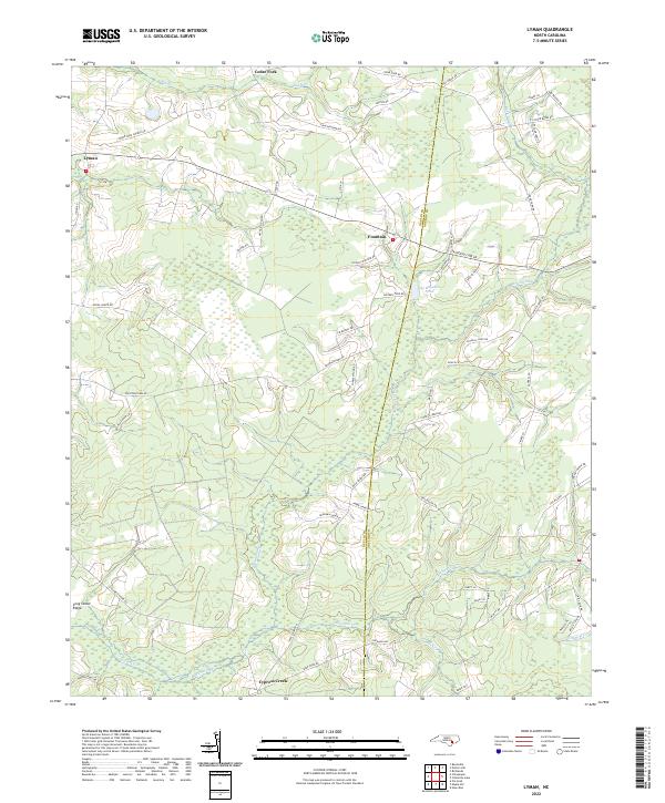
2022 Lyman
Duplin County, NC
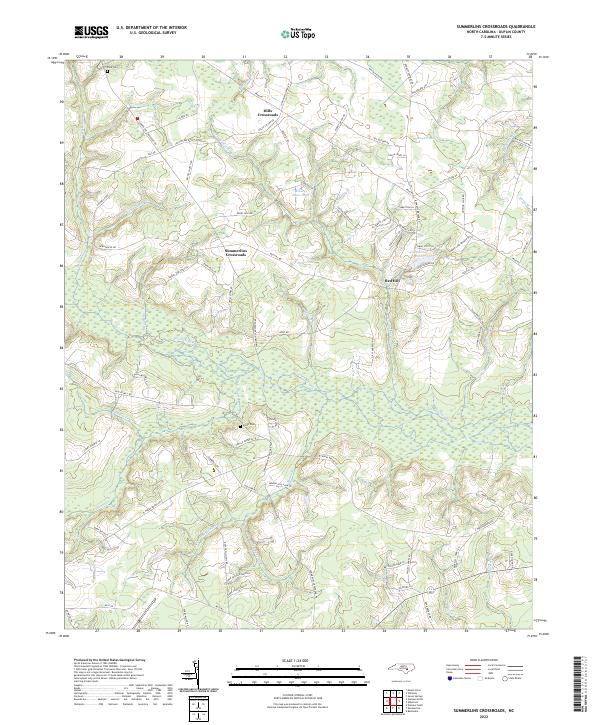
2022 Summerlins Crossroads
Duplin County, NC
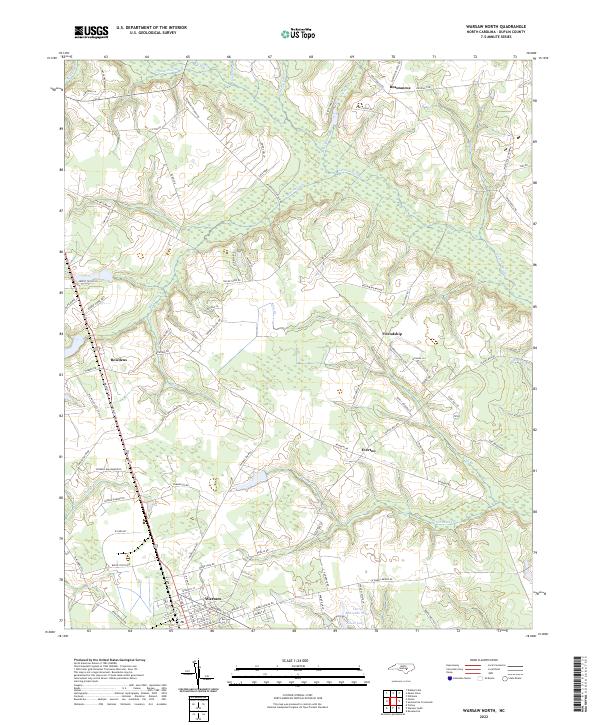
2022 Warsaw North
Duplin County, NC
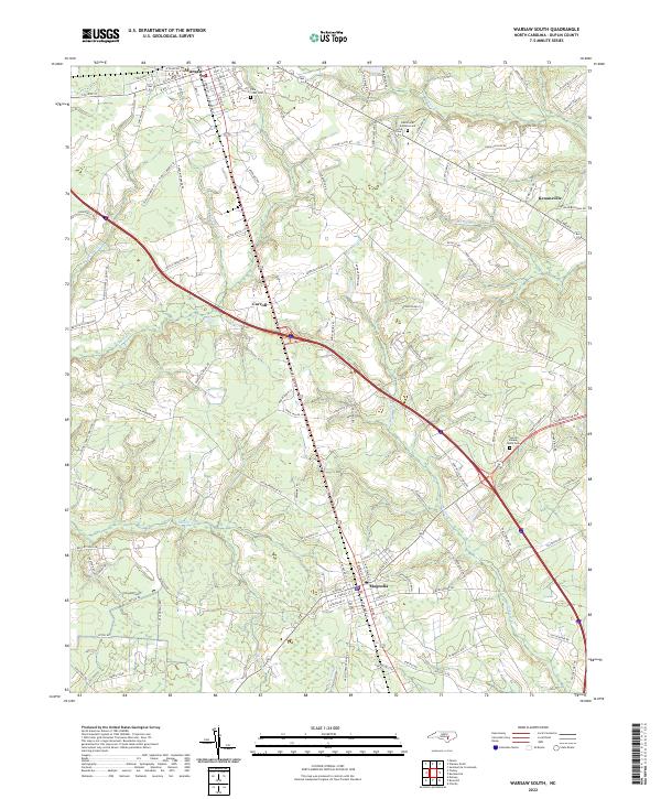
2022 Warsaw South
Duplin County, NC