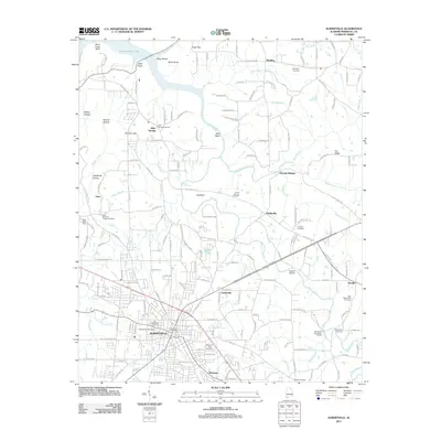
2011 Map of Albertville
USGS Topo · Published 2011About this map
Albertville serves as the focal point of this Marshall County landscape, where the street grid of the city transitions into the rural communities of Saratoga, Corbinville, and Hustleville. The northern reaches are dominated by the rugged topography surrounding Guntersville Lake and Short Creek Bluff, featuring notable landmarks such as Bald Knob and Short Creek Falls. This period of the twenty-first century reveals a well-developed network of local roads including Martling Gap Rd and Hustleville Rd, which connect historical hamlets like Alder Springs and Sockfoot to the larger municipal center.
Find a feature on this map
181 named features on this map. Tap any name to fly to it.
Don’t see what you’re looking for? This feature index may not catch every label — zoom into the map to look around manually.
Map Details
Editions of this 2011 Albertville Map
This is the sole edition of this map. No revisions or reprints were ever made.
Other maps of this area

1885 · Gadsden
USGS Topo · 1:125,000

1888 · Gadsden
USGS Topo · 1:125,000

1892 · Gadsden
USGS Topo · 1:125,000

1895 · Gadsden
USGS Topo · 1:125,000

1903 · Gadsden
USGS Topo · 1:125,000

1936 · Painter
USGS Topo · 1:24,000

1936 · Guntersville
USGS Topo · 1:24,000

1936 · Mountainboro
USGS Topo · 1:24,000

1936 · Columbus City
USGS Topo · 1:24,000

1936 · Rodentown
USGS Topo · 1:24,000