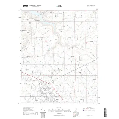
2020 Map of Albertville
USGS Topo · Published 2020About this map
Albertville occupies the high ground of Sand Mountain in this 2020 landscape, where the Valley Divide separates waters flowing toward the Tennessee River from southern drainages. The city's civic core is anchored by the Marshall County Courthouse - Albertville, while residential development extends into Saratoga and Corbinville. To the north, the terrain drops toward Guntersville Lake, a contrast to the plateau's agricultural and suburban character.
Find a feature on this map
217 named features on this map. Tap any name to fly to it.
Don’t see what you’re looking for? This feature index may not catch every label — zoom into the map to look around manually.
Map Details
Editions of this 2020 Albertville Map
This is the sole edition of this map. No revisions or reprints were ever made.
Other maps of this area

1885 · Gadsden
USGS Topo · 1:125,000

1888 · Gadsden
USGS Topo · 1:125,000

1892 · Gadsden
USGS Topo · 1:125,000

1895 · Gadsden
USGS Topo · 1:125,000

1903 · Gadsden
USGS Topo · 1:125,000

1936 · Painter
USGS Topo · 1:24,000

1936 · Guntersville
USGS Topo · 1:24,000

1936 · Mountainboro
USGS Topo · 1:24,000

1936 · Columbus City
USGS Topo · 1:24,000

1936 · Rodentown
USGS Topo · 1:24,000