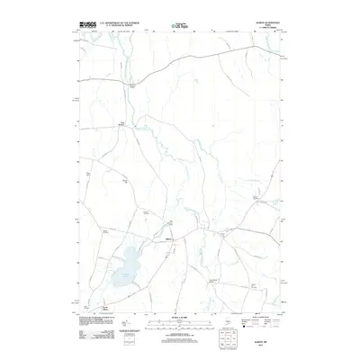
2011 Map of Albion
USGS Topo · Published 2011About this map
Fifteenmile Stream meanders through this portion of Kennebec County, defining a landscape of small settlements and agricultural crossings. The town of Albion sits at the heart of the area, supported by the hydraulic infrastructure of the Mill Stream Dam and the various rural roads that connect it to South Albion and East Benton. The terrain is marked by distinctive elevations such as Foss Hill and Shore Hill, while the waterway network is anchored by the expanse of Lovejoy Pond to the south.
Find a feature on this map
59 named features on this map. Tap any name to fly to it.
Don’t see what you’re looking for? This feature index may not catch every label — zoom into the map to look around manually.
Map Details
Editions of this 2011 Albion Map
This is the sole edition of this map. No revisions or reprints were ever made.
Other maps of this area

1892 · Waterville
USGS Topo · 1:62,500

1893 · Vassalboro
USGS Topo · 1:62,500

1898 · Vassalboro
USGS Topo · 1:62,500

1916 · Liberty
USGS Topo · 1:62,500

1926 · Burnham
USGS Topo · 1:62,500

1941 · Vassalboro
USGS Topo · 1:62,500

1942 · Liberty
USGS Topo · 1:62,500

1943 · Vassalboro
USGS Topo · 1:62,500

1943 · Waterville
USGS Topo · 1:62,500

1948 · Bangor
USGS Topo · 1:250,000