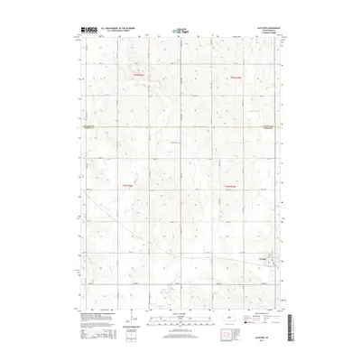
2015 Map of Alcester
USGS Topo · Published 2015About this map
Alcester serves as the primary hub in this southeastern South Dakota landscape, positioned along the eastern edge of the survey area. The town’s layout is defined by key local thoroughfares like Broad St and Dakota St, reflecting a community organized around regional transport. The surrounding rural landscape in Union and Lincoln counties is characterized by the winding paths of W Brule Cr and E Brule Cr, which drain the agricultural uplands. A significant marker of local heritage, the Gothland Cem is located centrally in the northern half of the township, providing a genealogical anchor for the surrounding farmsteads. The map clearly illustrates the transition across the Lincoln County and Union County line, detailing the precise grid of section lines and range divisions that have governed this prairie territory since the original land surveys.
Find a feature on this map
24 named features on this map. Tap any name to fly to it.
Don’t see what you’re looking for? This feature index may not catch every label — zoom into the map to look around manually.
Map Details
Editions of this 2015 Alcester Map
This is the sole edition of this map. No revisions or reprints were ever made.
Other maps of this area

1897 · Canton
USGS Topo · 1:125,000

1898 · Elk Point
USGS Topo · 1:125,000

1900 · Canton
USGS Topo · 1:125,000

1901 · Elk Point
USGS Topo · 1:125,000

1907 · Elk Point
USGS Topo · 1:125,000

1955 · Sioux City
USGS Topo · 1:250,000

1955 · Sioux Falls
USGS Topo · 1:250,000

1958 · Sioux City
USGS Topo · 1:250,000

1958 · Sioux Falls
USGS Topo · 1:250,000

1959 · Sioux City
USGS Topo · 1:250,000