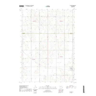
2017 Map of Alcester
USGS Topo · Published 2017About this map
Alcester serves as the primary municipal center in this section of southeastern South Dakota, situated just south of the Lincoln Co and Union Co line. The landscape is defined by the drainage patterns of the Brule Creek system, with both W Brule Cr and E Brule Cr carving through the agricultural sections. The map reveals a highly structured grid of section lines and rural roads, including 476th Ave and 300th St, which organize the farmsteads of the Alcester Township area. A notable site for local history and genealogy is the Gothland Cem, a small burial ground located in the central northern portion of the quadrangle. This 2017 survey reflects the modern configuration of the rural Midwest, where established townships are primarily connected by a dense network of numbered avenues and streets that follow the Public Land Survey System boundaries.
Find a feature on this map
27 named features on this map. Tap any name to fly to it.
Don’t see what you’re looking for? This feature index may not catch every label — zoom into the map to look around manually.
Map Details
Editions of this 2017 Alcester Map
This is the sole edition of this map. No revisions or reprints were ever made.
Other maps of this area

1897 · Canton
USGS Topo · 1:125,000

1898 · Elk Point
USGS Topo · 1:125,000

1900 · Canton
USGS Topo · 1:125,000

1901 · Elk Point
USGS Topo · 1:125,000

1907 · Elk Point
USGS Topo · 1:125,000

1955 · Sioux City
USGS Topo · 1:250,000

1955 · Sioux Falls
USGS Topo · 1:250,000

1958 · Sioux City
USGS Topo · 1:250,000

1958 · Sioux Falls
USGS Topo · 1:250,000

1959 · Sioux City
USGS Topo · 1:250,000