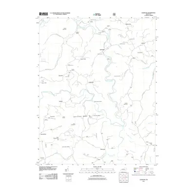
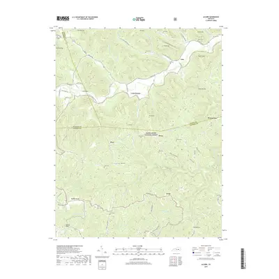
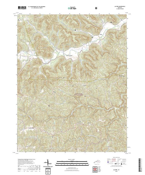
1952 Map of Alcorn
USGS Topo · Published 1967About this map
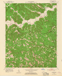
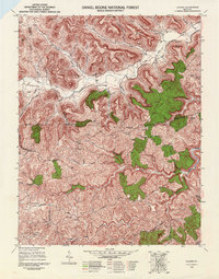
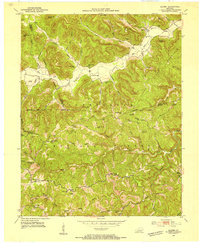
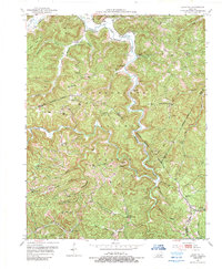
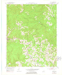
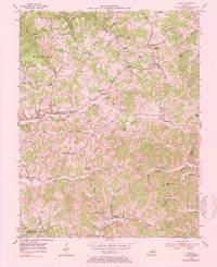
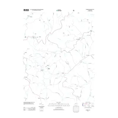
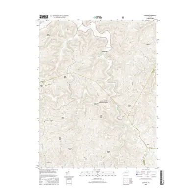
Cumberland National Forest dominates this mid-century portrait of the Kentucky highlands, where the boundary of Jackson, Estill, and Madison counties meet. The landscape is defined by the steep ridges of the Cumberland Plateau, including Chrisman Mtn and Brooks Mtn, which isolate small upland settlements and valley communities. A network of rural schools, such as Bicknell Sch and Fairview Sch, and local congregations like Davis Ch and Grassy Springs Ch suggest a self-sufficient social structure tied to the geography of the creeks.
Find a feature on this map
62 named features on this map. Tap any name to fly to it.
Don’t see what you’re looking for? This feature index may not catch every label — zoom into the map to look around manually.
Map Details
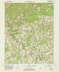
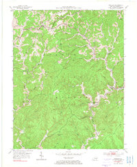
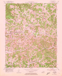
Editions of this 1952 Alcorn Map
3 editions found
Historical Maps of Jinks Through Time
32 maps found
1952 Alcorn
Jackson County, KY
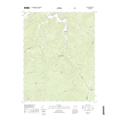
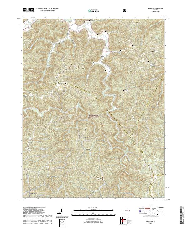
1952 Leighton
Jackson County, KY
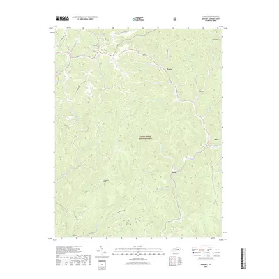
1953 Mc Kee
Jackson County, KY
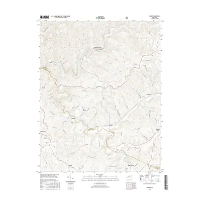
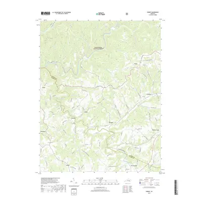
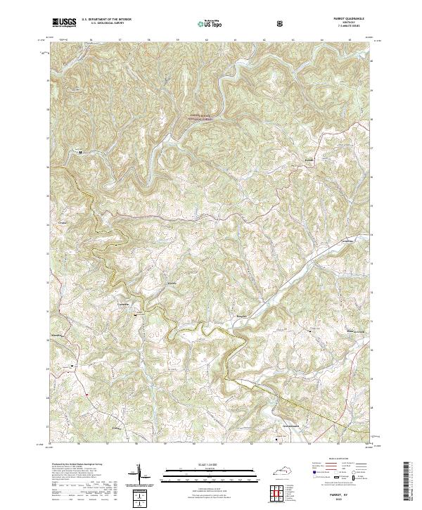
1953 Parrot
Jackson County, KY
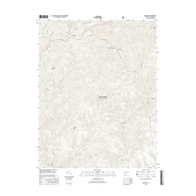
1953 Sandgap
Jackson County, KY
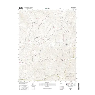
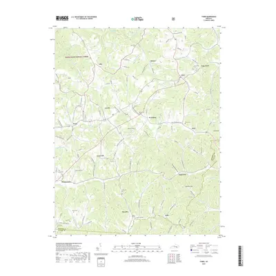
1953 Tyner
Jackson County, KY
1976 Tyner
Jackson County, KY
2010 Parrot
Jackson County, KY
2010 Sandgap
Jackson County, KY
2011 Alcorn
Jackson County, KY
2011 Leighton
Jackson County, KY
2011 Tyner
Jackson County, KY
2013 Alcorn
Jackson County, KY
2013 Leighton
Jackson County, KY
2013 Parrot
Jackson County, KY
2013 Sandgap
Jackson County, KY
2013 Tyner
Jackson County, KY
2016 Alcorn
Jackson County, KY
2016 Leighton
Jackson County, KY
2016 Parrot
Jackson County, KY
2016 Sandgap
Jackson County, KY
2016 Tyner
Jackson County, KY
2019 Alcorn
Jackson County, KY
2019 Leighton
Jackson County, KY
2019 Parrot
Jackson County, KY
2019 Sandgap
Jackson County, KY
2019 Tyner
Jackson County, KY
2022 Alcorn
Jackson County, KY
2022 Leighton
Jackson County, KY
2022 Parrot
Jackson County, KY
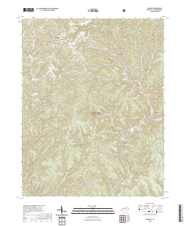
2022 Sandgap
Jackson County, KY
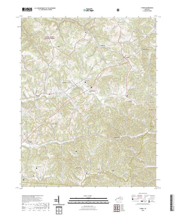
2022 Tyner
Jackson County, KY