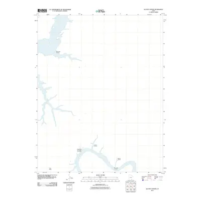
2011 Map of Alcove Canyon
USGS Topo · Published 2011About this map
The San Juan River snakes through the high desert of San Juan County, carving a deep path that includes the massive Great Bend of the San Juan River and the narrowing walls of San Juan Canyon. This area of southern Utah is defined by its dramatic hydrology, where the river's flow meets the rising waters of Lake Powell to the north and west. The landscape is a network of side drainages and high plateaus, such as Alcove Canyon and Navajo Canyon, which feed into the main river system. Elevated features like Grey Mesa overlook the surrounding canyons, while Slick Rock Canyon demonstrates the characteristic geological formations of the Colorado Plateau. This survey provides a precise view of the water levels and terrain as they stood in the early 21st century.
Find a feature on this map
8 named features on this map. Tap any name to fly to it.
Don’t see what you’re looking for? This feature index may not catch every label — zoom into the map to look around manually.
Map Details
Editions of this 2011 Alcove Canyon Map
This is the sole edition of this map. No revisions or reprints were ever made.
Other maps of this area

1886 · Henry Mountains
USGS Topo · 1:250,000

1892 · Henry Mountains
USGS Topo · 1:250,000

1952 · Navajo Mountain 4 NE
USGS Topo · 1:24,000

1953 · Navajo Mountain 4 NW
USGS Topo · 1:24,000

1953 · The Rincon
USGS Topo · 1:62,500

1953 · Lake Canyon
USGS Topo · 1:62,500

1953 · Navajo Mountain
USGS Topo · 1:62,500

1953 · No Mans Mesa
USGS Topo · 1:62,500

1956 · Escalante
USGS Topo · 1:250,000

1960 · Escalante
USGS Topo · 1:250,000