
1956 Map of Escalante
USGS Topo · Published 1956About this map
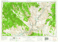
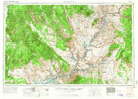
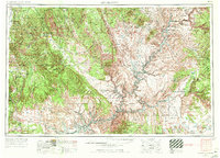
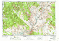
Escalante serves as a primary gateway to a canyon-carved landscape in the mid-1950s, just before the significant topographical changes brought by the creation of Lake Powell. This survey details a transition from the high elevations of Dixie National Forest and the Kaiparowits Plateau down to the winding course of the Colorado River. The area is marked by remote outposts and historical remnants, including the Adairville (ruins) and the Goulding Trading Post near the Navajo Indian Reservation.
Find a feature on this map
110 named features on this map. Tap any name to fly to it.
Don’t see what you’re looking for? This feature index may not catch every label — zoom into the map to look around manually.
Map Details
Editions of this 1956 Escalante Map
5 editions found
Other maps of this area

1883 · Marsh Pass
USGS Topo · 1:250,000

1885 · San Rafael
USGS Topo · 1:250,000

1885 · La Sal
USGS Topo · 1:250,000

1885 · Beaver
USGS Topo · 1:250,000

1885 · Fish Lake
USGS Topo · 1:250,000

1886 · Kanab
USGS Topo · 1:250,000

1886 · Escalante
USGS Topo · 1:250,000

1886 · Henry Mountains
USGS Topo · 1:250,000

1886 · Abajo
USGS Topo · 1:250,000

1886 · Echo Cliffs
USGS Topo · 1:250,000