Old Maps of Henrieville, Utah
Explore 21 old maps of Henrieville, spanning from 1886 to today. These high-resolution historic maps reveal how streets, neighborhoods, landmarks, and natural features evolved over time — perfect for genealogy, metal detecting, research, and local history exploration.
What you can do with these maps:
- See how Henrieville changed over time: Compare historical maps to modern-day views to trace roads, homesites, rail lines & more.
- View detailed metadata: Each map includes creators, publishers, year, scale, and archive source.
- Overlay maps with satellite & LiDAR: Visualize the past alongside modern tools to explore terrain & human change.
- Trusted historical sources: Maps sourced from the USGS, Library of Congress, and other archives.
- Access maps your way: View online, download high-res files, or order prints for personal or research use.
Start exploring old maps of Henrieville to uncover forgotten places, hidden landmarks, and the deep history beneath your feet.
Henrieville, UT maps
(21)- 1886 Map of Kanab
 1886 Kanab1886 Print · USGSSouthern Utah in the late nineteenth century remains a frontier of deep canyons and high plateaus. Researchers can trace early pioneer outposts and river settlements like Orderville, Mt. Carmel, and Kanab tucked beneath the Vermilion Cliffs.5 unique versions available
 - 1886 Map of Escalante
 1886 Escalante1886 Print · USGSSouthern Utah in the late 1880s was a landscape of formidable geological barriers and isolated river crossings. Modern researchers can trace the early layout of Escalante and identify historic points like The Crossing of the Fathers and Potato Valley.5 unique versions available
 - 1953 Map of Cedar City, 1966 Print
 1953 Cedar City1966 Print · USGSSouthwestern Utah's high plateaus and desert basins are mapped here during the mid-fifties, showing the region before the modern interstate system. Researchers can trace historic mining at Silver Reef, follow the Union Pacific line, and locate early settlements like Kanarraville and Toquerville.3 unique versions available
 - 1956 Map of Escalante
 1956 Escalante1956 Print · USGSSouthern Utah and Northern Arizona are charted here in the mid-fifties, just before the canyon floor was transformed. Researchers can trace remote desert commerce at Oljeto Trading Post, find the Adairville (ruins), and locate Uranium mines.5 unique versions available
 - 1958 Map of Cedar City
 1958 Cedar City1958 Print · USGSSouthwestern Utah in the late fifties was a land of mineral extraction and monumental landscapes. Genealogists and historians can trace pioneer-era settlements like Grafton and Parowan alongside industrial sites such as the Silver Reef Mine.2 unique versions available
 - 1960 Map of Escalante
 1960 Escalante1960 Print · USGSSouthern Utah and northern Arizona appear at a historic turning point in the late fifties as Lake Powell begins to reshape the canyons. Researchers can trace remote sites like Goulding Trading Post, a lonely Uranium Mine, and Coyote Ranches before the reservoir's rise.
 - 1962 Map of Cedar City
 1962 Cedar City1962 Print · USGSSouthern Utah in the early sixties showcases a landscape of dramatic plateaus and historic mining outposts. Trace the early settlement patterns at the Silver Reef (ruins), locate the Iron Mine near the Hurricane Cliffs, or find the Fort Harmony Monument.
 - 1964 Map of Henrieville, 1966 Print
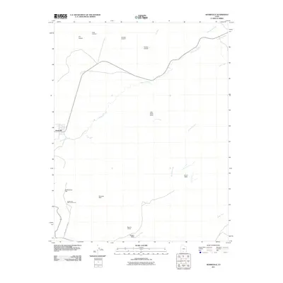
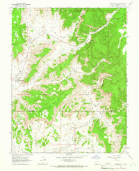 1964 Henrieville1966 Print · USGSHenrieville was a remote ranching hub in southern Utah during the mid-sixties, serving as the gateway to a vast system of plateaus and valleys. Genealogists and historians can trace the early infrastructure of the area through sites like Henrieville Spring, Chimney Rock, and the expansive Big Dry Valley.
 - 1966 Map of Cannonville, 1968 Print
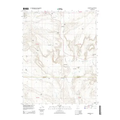
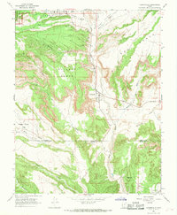 1966 Cannonville1968 Print · USGSTropic and Cannonville are captured in the mid-1960s as they transition from isolated frontier outposts to gateways for the canyon country. Genealogists and researchers can locate family sites like Georgetown, the Bryce Valley Sch, and a remote Mine near the Paria River.3 unique versions available
 - 1980 Map of Panguitch, 1981 Print
 1980 Panguitch1981 Print · USGSThe high plateau country of Southern Utah is captured here in the early eighties, centered on the Sevier River and the gateway town of Panguitch. Researchers can trace the boundaries of Bryce Canyon National Park and find local landmarks like Ruby's Inn, Panguitch Lake, and Hatch.2 unique versions available
 - 1980 Map of Escalante, 1988 Print
 1980 Escalante1988 Print · USGSThe high desert and canyonlands of southern Utah are shown here in the 1980s, centered on the settlement of Escalante. Researchers can trace the ranching and resource history of Johns Valley or the early boundaries of Capitol Reef National Park.3 unique versions available
 - 2011 Map of Cannonville, 2011 Print
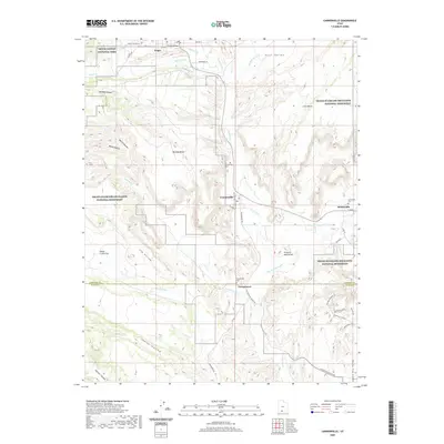
 2011 Cannonville2011 Print · USGSCovers Henrieville, including Tropic, Cannonville, and other nearby areas
 - 2011 Map of Henrieville, 2011 Print
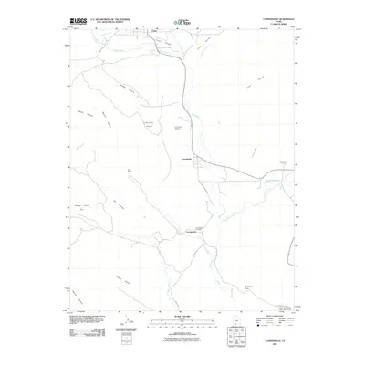
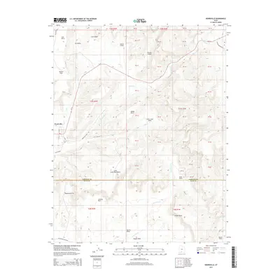
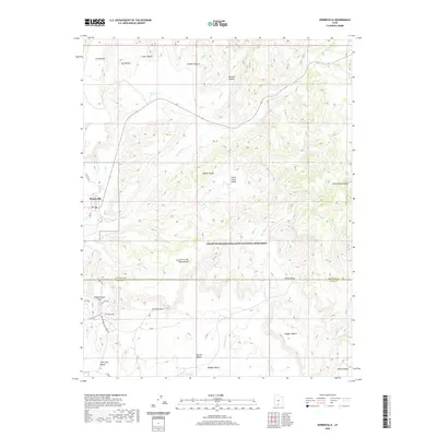
 2011 Henrieville2011 Print · USGSCovers Henrieville, including Kane County, Garfield County, and other nearby areas
 - 2014 Map of Cannonville, 2014 Print
 2014 Cannonville2014 Print · USGSCovers Henrieville, including Tropic, Cannonville, and other nearby areas
 - 2014 Map of Henrieville, 2014 Print
 2014 Henrieville2014 Print · USGSCovers Henrieville, including Kane County, Garfield County, and other nearby areas
 - 2017 Map of Henrieville, 2017 Print
 2017 Henrieville2017 Print · USGSCovers Henrieville, including Kane County, Garfield County, and other nearby areas
 - 2017 Map of Cannonville, 2017 Print
 2017 Cannonville2017 Print · USGSCovers Henrieville, including Tropic, Cannonville, and other nearby areas
 - 2020 Map of Henrieville, 2020 Print
 2020 Henrieville2020 Print · USGSCovers Henrieville, including Kane County, Garfield County, and other nearby areas
 - 2020 Map of Cannonville, 2020 Print
 2020 Cannonville2020 Print · USGSCovers Henrieville, including Tropic, Cannonville, and other nearby areas
 - 2023 Map of Henrieville, 2023 Print
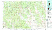
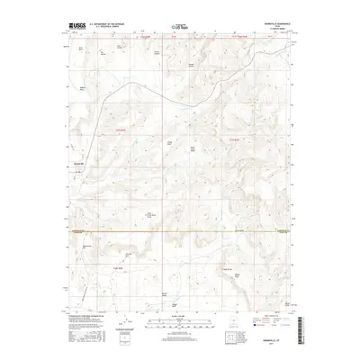
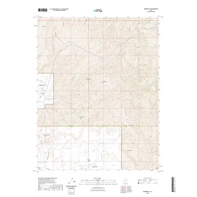 2023 Henrieville2023 Print · USGSHenrieville and the surrounding plateaus are documented here in the early twenty-first century as the town borders protected parklands. Trace the footpaths of Kodachrome Basin State Park or the remote drainages of Dry Valley Creek and Wiggler Wash.
 - 2023 Map of Cannonville, 2023 Print
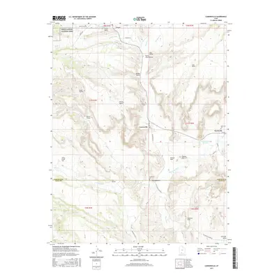
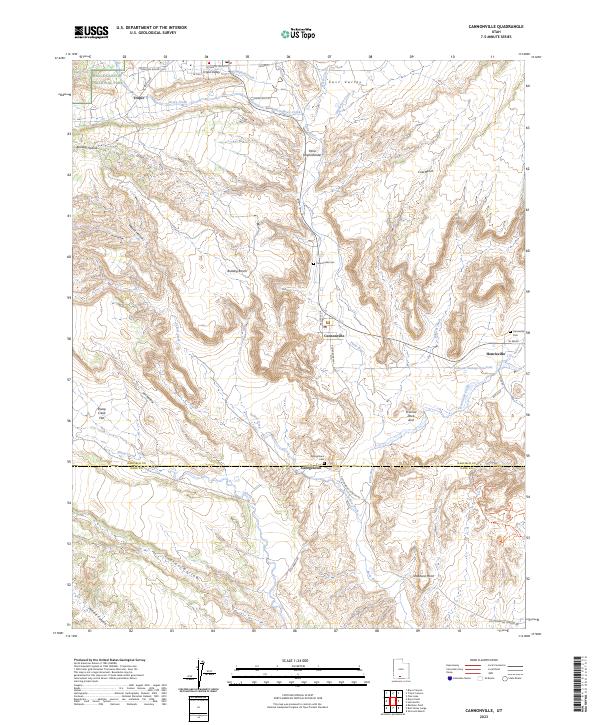 2023 Cannonville2023 Print · USGSSouthern Utah's high-desert settlements are documented here in detail, showing the relationship between small towns and the surrounding public lands. Genealogists and researchers can locate family sites at Tropic, Henrieville, and several burial grounds like Georgetown Cem.
End of results
Showing maps 1-21 of 21
Top cities near Henrieville
Frequently asked questions
- What are the different types of historical maps available for Henrieville?
- What is the oldest map of Henrieville?
- Where can I purchase historical maps of Henrieville for my home or office?
- Where can I download high-res historical maps of Henrieville?
- Are there historical topographic maps available for Henrieville?
- Is there historical aerial imagery available for Henrieville?
- Where are historical maps of Henrieville sourced from?